Near Girvin in Pecos County, Texas — The American South (West South Central)
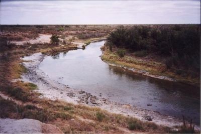
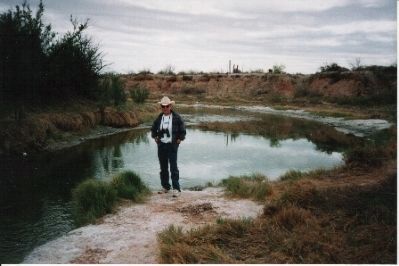
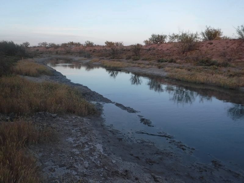
Horse Head Crossing on the Pecos River
Inscription.
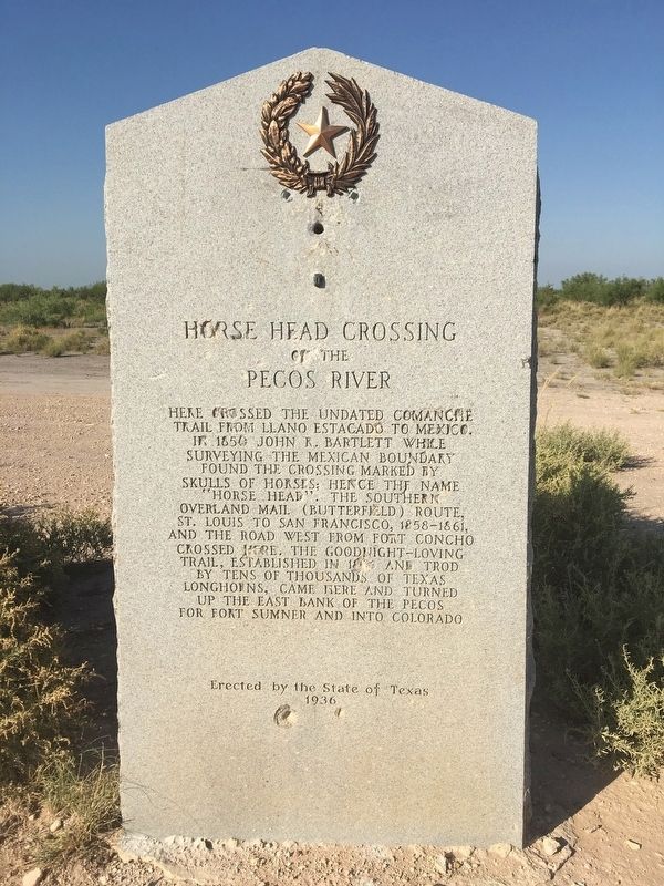
Here crossed the undated Comanche Trail from Llano Estacado to Mexico. In 1850 John R. Bartlett while surveying the Mexican boundary found the crossing marked by skulls of horses; hence the name “Horse Head”. The Southern Overland Mail (Butterfield) route, St. Louis to San Francisco, 1858-1861, and the road west from Fort Concho crossed here. The Goodnight-Loving trail, established in 1866 and trod by tens of thousands of Texas longhorns, came here and turned up east bank of the Pecos for Fort Sumner and into Colorado.
Erected 1936 by The State of Texas. (Marker Number 2564.)
Topics and series. This historical marker is listed in these topic lists: Native Americans • Roads & Vehicles • Settlements & Settlers. In addition, it is included in the Butterfield Overland Mail, the Comanche Trail into Mexico, and the Texas 1936 Centennial Markers and Monuments series lists. A significant historical year for this entry is 1850.
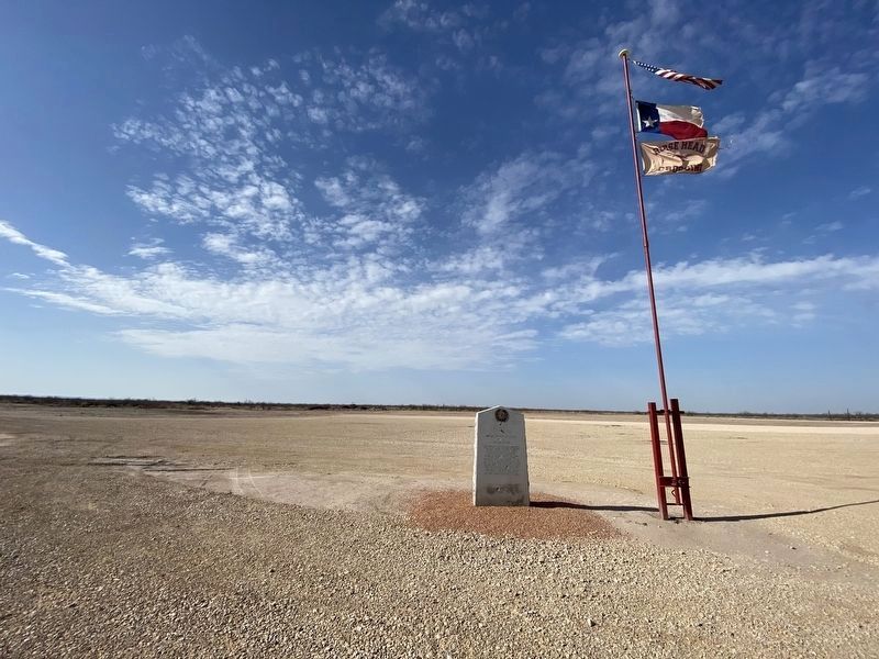
Location. 31° 14.025′ N, 102° 28.912′ W. Marker is near Girvin, Texas, in Pecos County. Marker is on Horse Head Road, 3.1 miles north of Farm to Market Road 11, on the right when traveling north. Touch for map. Marker is in this post office area: Imperial TX 79743, United States of America. Touch for directions.
Other nearby markers. At least 4 other markers are within 14 miles of this marker, measured as the crow flies. Horsehead Crossing, C.S.A. (approx. 12.7 miles away); Crane High School (approx. 13.4 miles away); Juan Cordona Lake (approx. 13.6 miles away); William Carey Crane (approx. 13.6 miles away).
Also see . . .
1. Horse Head Crossing. Handbook of Texas Online (Submitted on March 4, 2012, by Richard Denney of Austin, Texas.)
2. Castle Gap. Handbook of Texas Online (Submitted on March 4, 2012, by Richard Denney of Austin, Texas.)
3. Comanche Trail - Big Bend National Park. National Park Service description of Persimmon Gap in context of the Comanche Trail. (Submitted on March 4, 2012, by Richard Denney of Austin, Texas.)
Additional commentary.
1.
To amplify a bit on the history described on the marker, Horshead Crossing is arguably the most infamous and feared river crossing in Texas history. But today it is little more than a trickle of a stream.
It was the only ford for many miles where animals could enter, drink and leave Pecos River safely (see e.g. historic marker this page for Pecos High Bridge). Was the primary Pecos river crossing of the Comanche trail from Llano Estacado down into Mexico.
The ford was mapped 1849 by Capt. R. B. Marcy, head of army escort for parties on way to California gold rush. Became a major landmark on the trail west, as it provided the first water for about 75 miles on the route from the east. Emigrants arriving here either turned northwest along the river or crossed and continued southwest to Comanche Springs at Fort Stockton.
Source of the name "Horsehead" a bit unclear. Once story says that in 1850 John R. Bartlett while surveying the Mexican boundary found the crossing marker by skulls of horses; hence the name "Horse Head". Many water-starved animals, stolen in Mexico by Indians and driven along the Comanche war trail, died after drinking too deeply from the river. Comanches may have also intentionally marked the crossing for easier location.
1858, the crossing became an important stop on the Butterfield Overland Mail route from St. Louis to San Francisco. An adobe stage stand was built and a ferry put into operation, but both were abandoned in 1861, when mail service was terminated.
In late 1862, during the Civil War, federal forces kept a close watch at the crossing in reaction to a threatened confederate invasion. Cattle began to be trailed across the Pecos in 1864. During the Civil War, 1861-1865, used by wagons hauling highly valuable salt scooped from bed of nearby Juan Cordona Lake, to meet Texas scarcities.
1866, Charles Goodnight and Oliver Loving blazed their famous trail, which came to this point and turned upriver. Goodnight and Loving were the inspiration for Larry McMurtry's Lonesome Dove.
Completion of two railroads across west Texas in the early 1880s caused abandonment of the crossing.
Note: Two good books by Patrick Dearen in the Chisholm Trail Series, Castle Gap and the Pecos Frontier and Crossing Rio Pecos, describe the history of Castle Gap, Horsehead Crossing and the Pecos region in general.
— Submitted March 4, 2012, by Richard Denney of Austin, Texas.
2. Actual location of Horsehead Crossing
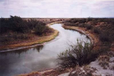
The "precise" location of Horsehead Crossing was forgotten after its use was discontinued as a Pecos river crossing. Debate on whether the state got the historic marker located at the actual site goes on (or if there was a singular location). An article by Julie Breaux, "Bits & pieces reveal history near Pecos River" in Austin American Statesman (10/15/98) suggest the actual crossing is located 1,000 feet upstream from the marker at 31.237555,-102.486284, to the left of the "Casper the ghost" figure formed by a bend in the Pecos.
— Submitted March 4, 2012, by Richard Denney of Austin, Texas.
Credits. This page was last revised on July 27, 2021. It was originally submitted on March 4, 2012, by Richard Denney of Austin, Texas. This page has been viewed 3,462 times since then and 103 times this year. Photos: 1. submitted on July 26, 2021, by Kirby Warnock of Fort Stockton, Texas. 2. submitted on March 4, 2012, by Richard Denney of Austin, Texas. 3. submitted on March 25, 2021, by Brian Anderson of Humble, Texas. 4, 5, 6. submitted on March 4, 2012, by Richard Denney of Austin, Texas. 7. submitted on July 26, 2021, by Kirby Warnock of Fort Stockton, Texas. • Bernard Fisher was the editor who published this page.
