Niagara-on-the-Lake in Niagara Region, Ontario — Central Canada (North America)
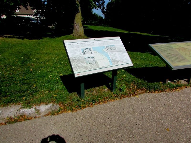
The Fortified Mouth of the Niagara River
Inscription.
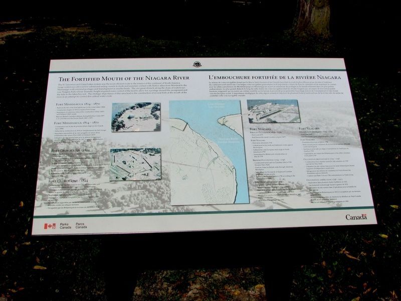
The St.Lawrence and Great Lakes system was the most efficient route to the interior of the continent of North America. Large waterways allowed for substantial sailing vessels to trade and maintain contact with Native allies from Montreal to the Mississippi with minimal portages and transhipment in smaller boats. The one great obstacle along the chain of waterways was Niagara Falls whose dramatic height required some control of the land to allow for a portage around the escarpment and the falls to the lakes beyond. The strategic importance of this area led to the construction of several forts at the mouth of the river in an attempt to control this critical water route.
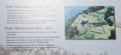
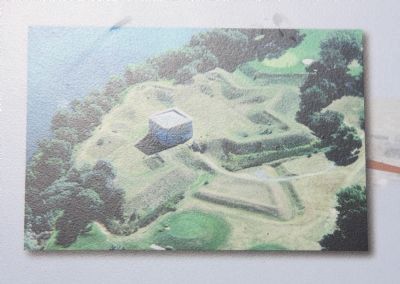
Fort Mississauga 1814 - 1870
Built on the site of the first lighthouse on the Great Lakes (1804)>
Construction begins in 1814 to replace Fort George
Importance of waterways reduced by construction of Erie (1825) and Welland (1829) canals
Base for British/Canadian defense during Rebellion Crisis 1837, U.S. Civil War and the Fenian Raids 1866 + 1870.
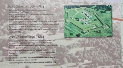
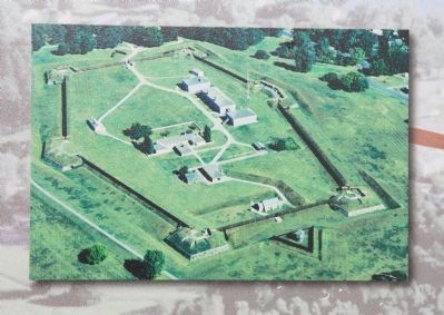
Fort George 1796 - 1824
Built by the British in 1796 to counter sudden American occupation of Fort Niagara
Principal fortification and Headquarters of Centre Division during the War of 1812
Engaged in several artillery duels in 1812
Destroyed, captured and occupied by U.S. forces in May of 1813
Modified by occupying U.S. forces to defend against a land assault
Re-occupied by British in December 1814
Butler's Barracks (1814) complex built out of range of U.S. artillery
Used until 1824
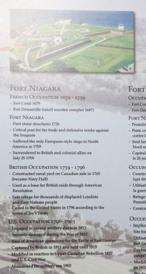
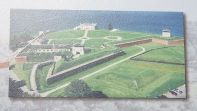
Fort Niagara
French Occupation 1679 - 1759
Fort Conti 1679
Fort Denonville (small wooden complex 1687)
Fort Niagara
First stone structures 1726
Critical post for fur trade and defensive works against the Iroquois
Suffered the only European-style siege in North America in 1759
Surrendered to British and colonial allies on July 25, 1759
British Occupation 1759 - 1796
Constructed naval yard on Canadian side in 1765 (became Navy Hall)
Used as a base for British raids through American Revolution
Safe refuge for thousands of displaced Loyalists and First Nations people
Ceded to the United States in 1796 according to the terms of Jay's Treaty
U.S. Occupation 1796 - 1903
Engaged in several artillery duels in 1812
Severely damaged during the War of 1812
Base of American operations for the Battle of Fort George
Captured by British in 1813 and held until 1815
Modified in reaction to Upper Canadian
Rebellion 1837 and U.S. Civil War
Abandoned for military use 1903
Erected by Parks Canada.
Topics. This historical marker is listed in these topic lists: Forts and Castles • War of 1812 • War, French and Indian • War, US Revolutionary. A significant historical month for this entry is May 1813.
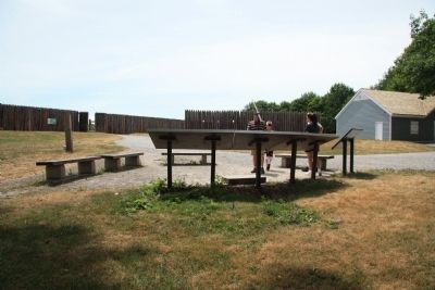
Location. 43° 15.127′ N, 79° 3.74′ W. Marker is in Niagara-on-the-Lake, Ontario, in Niagara Region. Marker can be reached from Queens Parade just south of Wellington Street. This historic marker is located on the grounds of a national historic park. On the map this historic marker appears to be near the end of Bryon Street, but in order to see this historic marker one should probably pull into the parking lot of the national park, which is just off of the roadway called the Queens Parade. Once you park your vehicle the historical marker is just a short walk away along the pathway that leads to the fort's visitor center. This particular historical marker is just to the left of a three marker display panel that is situated between the park's visitor center and the reconstructed fort, facing away from Fort George and towards Fort Niagara (which is situated on the American side of the river). Touch for map. Marker is in this post office area: Niagara-on-the-Lake ON L0S 1J0, Canada. Touch for directions.
Other nearby markers. At least 8 other markers are within walking distance of this marker
. A Strategic Site (here, next to this marker); a different marker also named A Strategic Site (a few steps from this marker); Fort Niagara (a few steps from this marker); a different marker also named Fort Niagara (a few steps from this marker); The Battle of Fort George (a few steps from this marker); Sir Isaac Brock's First Burial Site (within shouting distance of this marker); Fort George (within shouting distance of this marker); Niagara National Historic Sites (about 90 meters away, measured in a direct line). Touch for a list and map of all markers in Niagara-on-the-Lake.
Credits. This page was last revised on September 27, 2019. It was originally submitted on March 17, 2012, by Dale K. Benington of Toledo, Ohio. This page has been viewed 768 times since then and 14 times this year. Photos: 1, 2, 3. submitted on September 24, 2019, by Bill Coughlin of Woodland Park, New Jersey. 4, 5, 6, 7, 8, 9, 10. submitted on March 17, 2012, by Dale K. Benington of Toledo, Ohio.
