Oakwood Cemetery in Richmond in Henrico County, Virginia — The American South (Mid-Atlantic)
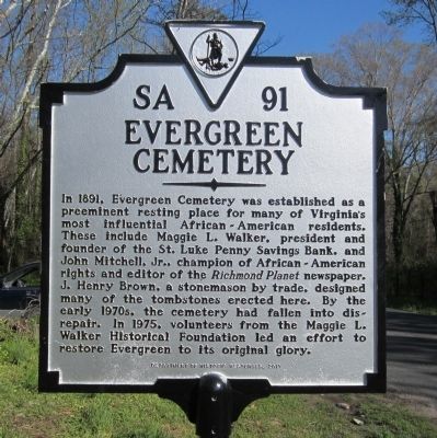
Evergreen Cemetery
Photographed by Bernard Fisher, March 27, 2012
1. Evergreen Cemetery Marker
Erected 2011 by Department of Historic Resources. (Marker Number SA-91.)
Topics and series. This historical marker is listed in these topic lists: African Americans • Cemeteries & Burial Sites. In addition, it is included in the Virginia Department of Historic Resources (DHR) series list. A significant historical year for this entry is 1891.
Location. 37° 31.811′ N, 77° 23.33′ W. Marker is in Richmond, Virginia, in Henrico County. It is in Oakwood Cemetery. It is on East Richmond Road 0.2 miles west of Jennie Scher
this page online

Regionally, this marker is in the Piedmont and in Central Virginia. It is also in the American South, specifically in the Upper South, and on the Eastern Seaboard. Globally, it is in the North Atlantic Region, North America, the Western Hemisphere, the Western World, and the Anglosphere. Historically, it finds itself in what was once the territory of the Mississippian Culture, one of the original Thirteen Colonies, one of the Confederate States of America, and the Antebellum South.
Other nearby markers. At least 8 other markers are within walking distance of this marker: Oakwood Cemetery (approx. 0.4 miles away); The Burying Ground – For Colored Paupers (approx. 0.4 miles away); Trailblazers of a New Era (approx. 0.6 miles away); Nine Mile Road (approx. 0.9 miles away); Richmond Defences (approx. 0.9 miles away); World War II Memorial (approx. one mile away); a different marker also named Dabbs House (approx. one mile away); The Dabb House
Photographed by Bernard Fisher, March 27, 2012
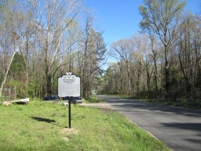
2. East Richmond Road
Other markers no longer nearby. Oakwood Cemetery Confederate Section (was approx. half a mile away but has been confirmed missing); Dabbs House (was approx. one mile away but has been replaced with another marker now near it); a different marker also named Dabbs House (was approx. one mile away but has been replaced with another marker now near it).
Also see . . .
1. Evergreen Cemetery (Richmond, Virginia). Wikipedia (Submitted on March 27, 2012.)
2. Historic Evergreen Cemetery. Enrichmond Foundation (Submitted on November 12, 2021.)
3. Evergreen Cemetery Historic Marker Dedication (video). A seven-minute video clip produced jointly by the National Park Service and the Maggie L. Walker National Historic Site of the unveiling of the marker. Includes Ajena Rogers (NPS) at 1:55 and Kathleen Kilpatrick (VA Dept.of Historic Resources) at 3:10 speaking on the marker. The unveiling is about 6 minutes in. (Submitted on November 2, 2015.)
Photographed by Bernard Fisher, March 27, 2012
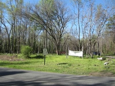
3. Evergreen Cemetery Marker
Photographed by Bernard Fisher, March 27, 2012
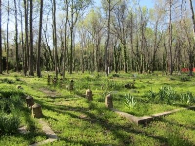
4. Evergreen Cemetery
Credits. This page was last revised on February 16, 2023. It was originally submitted on March 27, 2012, by Bernard Fisher of Richmond, Virginia. This page has been viewed 2,030 times since then and 109 times this year. Photos: 1, 2, 3, 4. submitted on March 27, 2012, by Bernard Fisher of Richmond, Virginia.
