
Niagara-on-the-Lake in Niagara Region, Ontario — Central Canada (North America)
Six Pounder Field Gun
Photographed by Dale K. Benington, July 27, 2011
1. Six Pounder Field Gun Marker
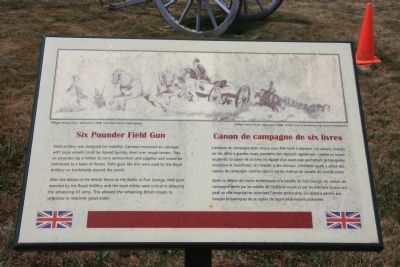
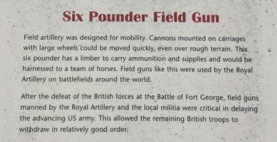
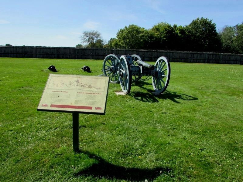
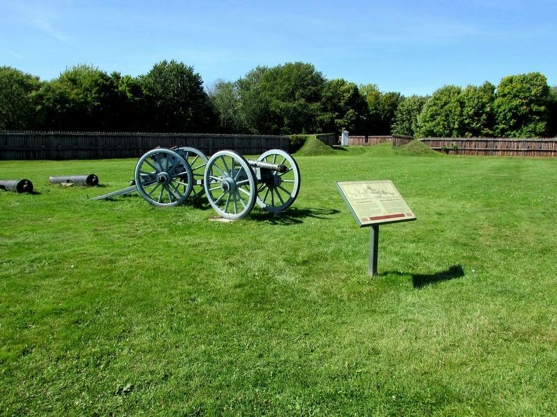
After the defeat of the British forces at the Battle of Fort George, field guns manned by the Royal Artillery and the local militia were critical in delaying the advancing US army. This allowed the remaining British troops to withdraw in relatively good order.
Erected by Parks Canada.
Topics. This historical marker is listed in these topic lists: Colonial Era • Forts and Castles • War of 1812.
Location. 43° 15.071′ N, 79° 3.717′ W. Marker is in Niagara-on-the-Lake, Ontario, in Niagara Region. It can be reached from Queen's Parade just south of Wellington Street. This historic marker is located on the grounds of a national historic park, inside of the reconstructed Fort George, on the grounds, near the center of the fort, along
this page online

Regionally, this marker is on Ontario’s Golden Horseshoe and in Niagara Canada. It is also in Central Canada. Globally, it is in North America, the Western Hemisphere, the Western World, and the Anglosphere. Historically, it finds itself in what was once a British colony, the Viceroyalty of New France, the Haudenosaunee (Iroquois) Confederacy, and Rupert’s Land.
Other nearby markers. At least 8 other markers are within walking distance of this marker: Ubique (here, next to this marker); Guns Gins and Devil Carts (a few steps from this marker); Sir Isaac Brock's First Burial Site (about 90 meters away, measured in a direct line); Fort George Time Capsule 2067 (about 90 meters away); The Battle of Fort George (about 90 meters away); Fort Niagara (about 90 meters away); A Strategic Site (about 90 meters away); The Fortified Mouth of the Niagara River (about 120 meters away). Touch for a list and map of all markers in Niagara-on-the-Lake.
Other
Photographed by Dale K. Benington, July 27, 2011
2. Six Pounder Field Gun Marker
Close up view of the text on the historical marker.
Photographed by Dale K. Benington, July 27, 2011
3. Six Pounder Field Gun Marker
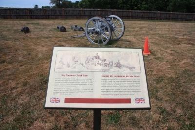
View of the historical marker in the foreground of the picture, on the interior grounds of the fort, with a display of cannons and a limber in the background.
Photographed by Bill Coughlin, September 19, 2019
4. Six Pounder Field Gun Marker
Photographed by Bill Coughlin, September 19, 2019
5. Six Pounder Field Gun Marker
Photographed by Dale K. Benington, July 27, 2011
6. Six Pounder Field Gun Marker
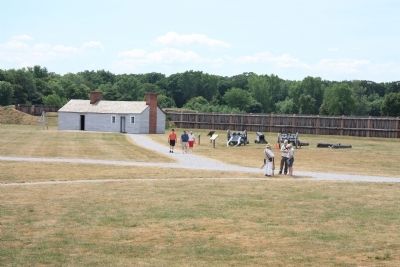
A distant view of the historical marker in the interior of the fort.
Credits. This page was last revised on September 27, 2019. It was originally submitted on March 30, 2012, by Dale K. Benington of Toledo, Ohio. This page has been viewed 752 times since then and 7 times this year. Photos: 1, 2, 3. submitted on March 30, 2012, by Dale K. Benington of Toledo, Ohio. 4, 5. submitted on September 24, 2019, by Bill Coughlin of Woodland Park, New Jersey. 6. submitted on March 30, 2012, by Dale K. Benington of Toledo, Ohio.
