Niagara-on-the-Lake in Niagara Region, Ontario — Central Canada (North America)
Niagara National Historic Sites
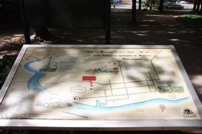
Photographed by Dale K. Benington, July 27, 2011
1. Niagara National Historic Sites Marker
Queenston Heights:
this page online
Erected by Canadian Heritage Parks Canada.
Topics. This historical marker is listed in these topic lists: Colonial Era • Forts and Castles • War of 1812. A significant historical year for this entry is 1999.
Location. Marker has been reported missing. It was located near 43° 15.107′ N, 79° 3.814′ W. Marker was in Niagara-on-the-Lake, Ontario, in Niagara Region. It could be reached from Queen's Parade 0.2 kilometers south of Wellington Street, on the right when traveling north. This historic marker is located on the grounds of a national historic park. On the map this historic marker appears to be near the end of Bryon Street, but in order to see this historic marker one should probably pull into the parking
Photographed by Dale K. Benington, July 27, 2011
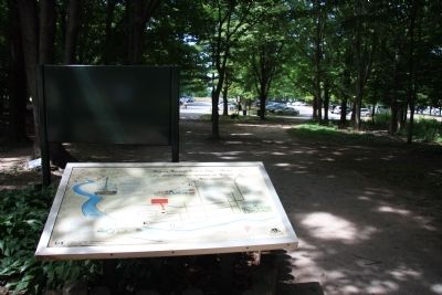
2. Niagara National Historic Sites Marker
View of the historical marker situated along the pathway that leads from the Fort George parking lot (seen in the background) to Fort George (located in the opposite direction).

Regionally, this marker was on Ontario’s Golden Horseshoe and in Niagara Canada. It was also in Central Canada. Globally, it was in North America, on the Great Lakes, in the Western Hemisphere, in the Western World, and in the Anglosphere. Historically, it found itself in what was once a British colony, the Viceroyalty of New France, the Haudenosaunee (Iroquois) Confederacy, and Rupert’s Land.
Other nearby markers. At least 8 other markers are within walking distance of this location: Fort George (within shouting distance of this marker); The Fortified Mouth of the Niagara River (about 90 meters away, measured in a direct line); A Strategic Site (about 120 meters away); Fort Niagara (about 120 meters away); The Battle of Fort George (about 120 meters away); Fort George Time Capsule 2067
Photographed by Dale K. Benington, July 27, 2011
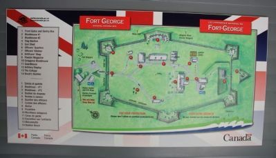
3. Niagara National Historic Sites Marker
View of a nearby display showing an overhead illustration of Fort George, and this historical marker would be on the outside of the front entrance to the fort, just beyond the visitor center.
Other markers no longer nearby. Welcome to Fort George (was here, next to this marker but has been confirmed missing); a different marker also named A Strategic Site (was about 120 meters away but has been replaced with another marker now near it); a different marker also named Fort Niagara (was about 120 meters away but has been replaced with another marker now near it).
Photographed by Trevor L Whited, August 11, 2026
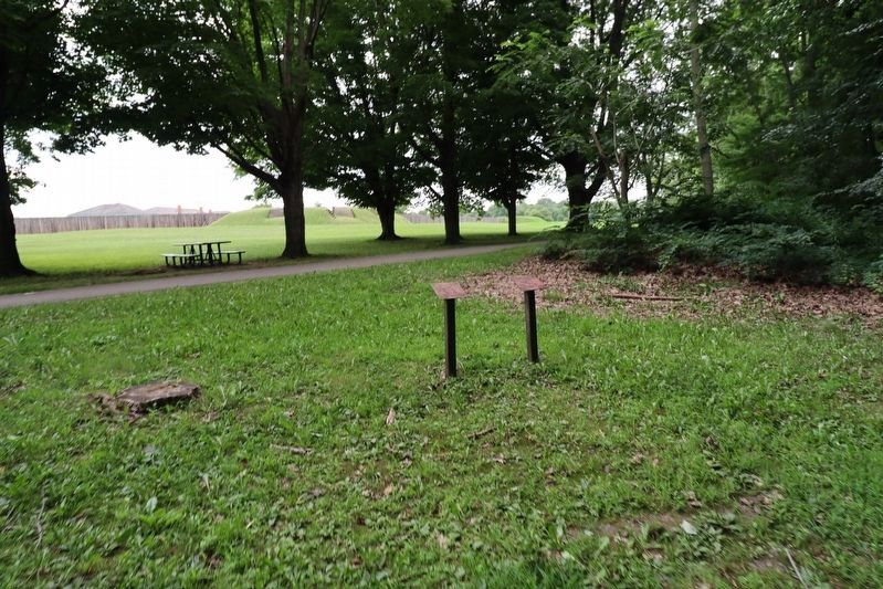
4. Niagara National Historic Sites Marker
Marker is missing, but posts remain.
Credits. This page was last revised on August 28, 2026. It was originally submitted on April 1, 2012, by Dale K. Benington of Toledo, Ohio. This page has been viewed 796 times since then and 34 times this year. Last updated on August 27, 2026, by Trevor L Whited of Kokomo, Indiana. Photos: 1, 2, 3. submitted on April 1, 2012, by Dale K. Benington of Toledo, Ohio. 4. submitted on August 27, 2026, by Trevor L Whited of Kokomo, Indiana. • Devry Becker Jones was the editor who published this page.
Editor’s want-list for this marker. Transcription of the French text • Can you help?
