Herkimer in Herkimer County, New York — The American Northeast (Mid-Atlantic)
General Herkimer Takes Command
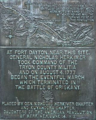
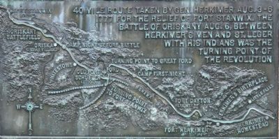
— 40 mile route taken by Gen. Herkimer Aug. 3-6, 1777 —
General Nicholas Herkimer
took command of the
Tryon County Militia
and on August 4, 1777
began the eventful march
which terminated in
the Battle of Oriskany.
Erected 1912 by The Gen. Nicholas Herkimer Chapter and Kuyahoora Chapter, Daughters of the American Revolution of Herkimer. (Marker Number 5.)
Topics and series. This historical marker is listed in these topic lists: Colonial Era • Native Americans • Settlements & Settlers • War, US Revolutionary. In addition, it is included in the Daughters of the American Revolution, and the General Herkimer's 40 Mile March series lists. A significant historical year for this entry is 1777.
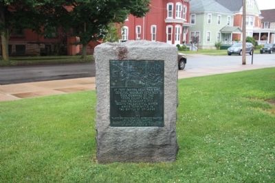
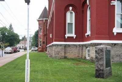
Location. 43° 1.737′ N, 74° 59.354′ W. Marker is in Herkimer, New York, in Herkimer County. Marker is at the intersection of North Main Street and Court Street, on the left when traveling south on North Main Street. This historical marker is located on the northwest corner of the county courthouse front yard. Touch for map. Marker is in this post office area: Herkimer NY 13350, United States of America. Touch for directions.
Other nearby markers. At least 8 other markers are within one mile of this marker, measured as the crow flies. The Thirty-Fourth Regiment (a few steps from this marker); 1834 Jail (a few steps from this marker); Revolution in the Mohawk Valley (within shouting distance of this marker); Fort Dayton (within shouting distance of this marker); Fred'ck Staring (approx. ¼ mile away); Early Village Burying Ground (approx. ¼ mile away); General Nicolas Herrhheimer (approx. ¼ mile away); Mohawk War Memorial (approx. one mile away). Touch for a list and map of all markers in Herkimer.
Regarding General Herkimer Takes Command. This historical marker is part of a series of historical markers that mark the 40 mile route taken by Gen. Herkimer Aug. 3-6, 1777 for the relief of Fort Stanwix, that resulted in the Battle of Oriskany. Some historians believe that this battle, fought between Herkimer's Patriots with his Oneida allies and St. Leger's Loyalists with their Indian allies, was the turning point of the Revolutionary War.
Related markers. Click here for a list of markers that are related to this marker. To better understand the relationship, study each marker in the order shown.
Credits. This page was last revised on June 16, 2016. It was originally submitted on April 9, 2012, by Dale K. Benington of Toledo, Ohio. This page has been viewed 958 times since then and 24 times this year. Photos: 1, 2, 3, 4, 5, 6, 7. submitted on April 10, 2012, by Dale K. Benington of Toledo, Ohio.


