Mahopac in Putnam County, New York — The American Northeast (Mid-Atlantic)
U.S.S. Mahopac
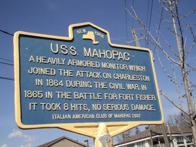
Photographed by Bill Coughlin, April 10, 2012
1. U.S.S. Mahopac Marker
joined the attack on Charleston
in 1864 during the Civil War. In
1865 in the Battle for Fort Fisher
it took 8 hits, no serious damage.
Erected 2002 by Italian American Club of Mahopac.
Topics. This historical marker is listed in these topic lists: War, US Civil • Waterways & Vessels. A significant historical year for this entry is 1864.
Location. 41° 22.345′ N, 73° 44.084′ W. Marker is in Mahopac, New York, in Putnam County. It is at the intersection of South Lake Blvd (U.S. 6) and Sycamore Road, on the left when traveling east on South Lake Blvd. Touch for map. Marker is in this post office area: Mahopac NY 10541, United States of America. Touch for directions.

Regionally, this marker is in Upstate New York, specifically in the Hudson Valley, and in the New York City Metropolitan Area. It is also in the American Northeast, in the Mid-Atlantic, and on the Eastern Seaboard. Globally, it is in the North Atlantic Region, North America, the Western Hemisphere, the Western World, and the Anglosphere. Historically, it finds itself in what was once New Netherland and also one
this page online
Other nearby markers. At least 8 other markers are within walking distance of this marker: Sibyl Ludington (within shouting distance of this marker); Railroad Station (within shouting distance of this marker); 1941 “Lest We Forget” 1945 (approx. ¼ mile away); Korean and Vietnam War Monument (approx. ¼ mile away); God Bless Our Fallen Soldiers (approx. ¼ mile away); 1917 “Lest We Forget" 1919 (approx. 0.3 miles away); Knickerbocker Ice (approx. 0.4 miles away); Canopus Island (approx. 0.4 miles away). Touch for a list and map of all markers in Mahopac.
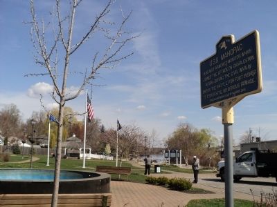
Photographed by Bill Coughlin, April 10, 2012
2. U.S.S. Mahopac Marker
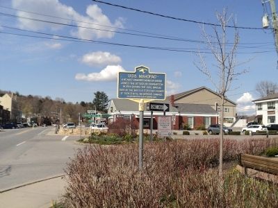
Photographed by Bill Coughlin, April 10, 2012
3. U.S.S. Mahopac Marker
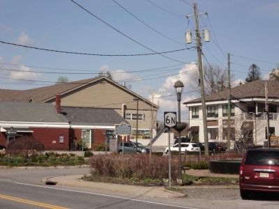
Photographed by Bill Coughlin, April 10, 2012
4. Marker in Mahopac
Credits. This page was last revised on June 16, 2016. It was originally submitted on April 10, 2012, by Bill Coughlin of Woodland Park, New Jersey. This page has been viewed 1,159 times since then and 48 times this year. Photos: 1, 2, 3, 4. submitted on April 10, 2012, by Bill Coughlin of Woodland Park, New Jersey.
