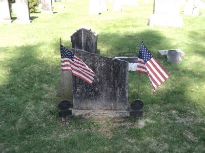
Mahopac in Putnam County, New York — The American Northeast (Mid-Atlantic)
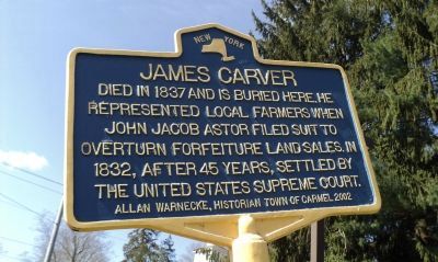
James Carver
Erected 2002 by Allan Warnecke, Historian Town of Carmel.
Topics. This historical marker is listed in these topic lists: Agriculture • Cemeteries & Burial Sites. A significant historical year for this entry is 1837.
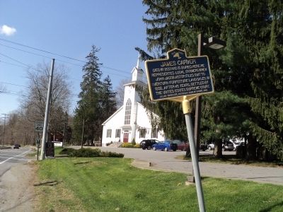
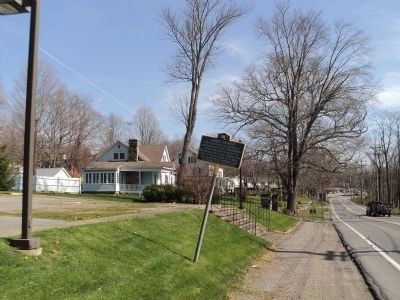
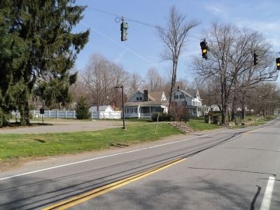
Location. 41° 22.365′ N, 73° 45.932′ W. Marker is in Mahopac, New York, in Putnam County. Marker is at the intersection of New York State Route 6 N and Brook Road, on the left when traveling north on State Route 6 N. Marker is located in front of the Red Mills Baptist Church. Touch for map. Marker is in this post office area: Mahopac NY 10541, United States of America. Touch for directions.
Other nearby markers. At least 8 other markers are within 2 miles of this marker, measured as the crow flies. Dean House (approx. half a mile away); Major John Andre (approx. 0.7 miles away); Canopus Island (approx. 1.2 miles away); U.S.S. Mahopac (approx. 1.6 miles away); Sibyl Ludington (approx. 1.6 miles away); Railroad Station (approx. 1.6 miles away); 1941 “Lest We Forget” 1945 (approx. 1.9 miles away); God Bless Our Fallen Soldiers (approx. 1.9 miles away). Touch for a list and map of all markers in Mahopac.
Credits. This page was last revised on November 28, 2019. It was originally submitted on April 10, 2012, by Bill Coughlin of Woodland Park, New Jersey. This page has been viewed 580 times since then and 19 times this year. Photos: 1, 2, 3, 4, 5. submitted on April 10, 2012, by Bill Coughlin of Woodland Park, New Jersey.
