Near Las Vegas in San Miguel County, New Mexico — The American Mountains (Southwest)
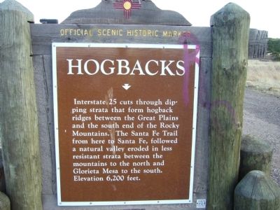
Hogbacks
Photographed by Bill Kirchner, April 16, 2012
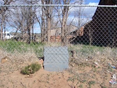
1. Hogbacks Marker
Erected by New Mexico Historic Preservation Division.
Topics and series. This historical marker is listed in these topic lists: Natural Features • Roads & Vehicles. In addition, it is included in the Santa Fe Trail series list.
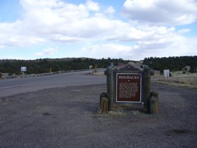
Location. 35° 31.185′ N, 105° 14.915′ W. Marker is near Las Vegas, New Mexico, in San Miguel County. It is at the intersection of Interstate 25 at milepost 339 and U.S. 84, on the right when traveling north on Interstate 25. Marker is at the bottom of the northbound off ramp from I-25 at exit 339. Touch for map. Marker is in this post office area: Las Vegas NM 87701, United States of America. Touch for directions.

Regionally, this marker is in Northern New Mexico. It is also in the American Southwest, in the Mountain
this page online
Other nearby markers. At least 8 other markers are within 6 miles of this marker, measured as the crow flies: Kearny Gap (approx. 2.7 miles away); Puertocito de la Piedra Lumbre (approx. 2.7 miles away); A Landmark Meeting (approx. 2.7 miles away); A. Dold & Company / Charles Emil Wesche General Merchandise Store (approx. 5.2 miles away); Veeder Block (approx. 5.2 miles away); Dold Block (approx. 5.2 miles away); Santa Fe Trail (approx. 5.2 miles away); Plaza Hotel (approx. 5.2 miles away). Touch for a list and map of all markers in Las Vegas.
Photographed by Bill Kirchner, April 16, 2012
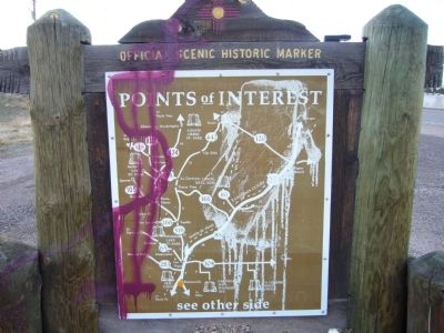
2. Rear of: Hogbacks Marker
Photographed by Bill Kirchner, April 16, 2012
3. Hogbacks Marker
Photographed by Bill Kirchner
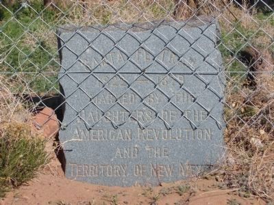
4. Santa Fe Trail Marker
The Daughters of the American Revolution placed 18 Santa Fe Trail markers in New Mexico along the trail from Raton Pass, on the Colorado/New Mexico border, to the "End of the Trail" in the Santa Fe Plaza.
Approximately 4.5 miles south is this Sante Fe Trail marker.
Photographed by Bill Kirchner
5. Santa Fe Trail Marker
Credits. This page was last revised on January 1, 2025. It was originally submitted on May 9, 2012, by Bill Kirchner of Tucson, Arizona. This page has been viewed 1,780 times since then and 96 times this year. Photos: 1, 2, 3. submitted on May 9, 2012, by Bill Kirchner of Tucson, Arizona. 4, 5. submitted on May 8, 2012, by Bill Kirchner of Tucson, Arizona. • Syd Whittle was the editor who published this page.
