Penn Township near Harrison City in Westmoreland County, Pennsylvania — The American Northeast (Mid-Atlantic)
Bushy Run Battlefield
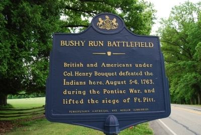
Photographed by Mike Wintermantel, May 22, 2012
1. Bushy Run Battlefield Marker
Erected 1964 by Pennsylvania Historical and Museum Commission.
Topics and series. This historical marker is listed in these topic lists: Forts and Castles • Indigenous Peoples and Communities • War, French and Indian. In addition, it is included in the Pennsylvania Historical and Museum Commission (PHMC) series list. A significant historical year for this entry is 1763.
Location. 40° 21.356′ N, 79° 37.53′ W. Marker is near Harrison City, Pennsylvania, in Westmoreland County. It is in Penn Township. It is at the intersection of Bushy Run Road (Pennsylvania Route 993) and Harrison Avenue ( Route 130), on the right when traveling west on Bushy Run Road. Touch for map. Marker is in this post office area: Harrison City PA 15636, United States of America. Touch for directions.

Regionally, this marker is in the Laurel Highlands and in Greater Pittsburgh. It is also in the American Northeast, in the Mid-Atlantic, in Appalachia, and specifically in Northern
this page online
Other nearby markers. At least 8 other markers are within walking distance of this marker: Ambushed (within shouting distance of this marker); Welcome to Bushy Run Battlefield (about 500 feet away, measured in a direct line); Bushy Run Station (about 700 feet away); Strategic Attack (about 700 feet away); Andrew Byerly's Spring (about 800 feet away); After The Battle (about 800 feet away); The Iroquois Nature Trail (approx. 0.2 miles away); The Site of the "Flour Bag Fort" (approx. 0.2 miles away).
More about this marker. Located near the entrance to Bushy Run Battlefield.
Also see . . . Welcome to Bushy Run Battlefield. (Submitted on May 22, 2012, by Mike Wintermantel of Pittsburgh, Pennsylvania.)
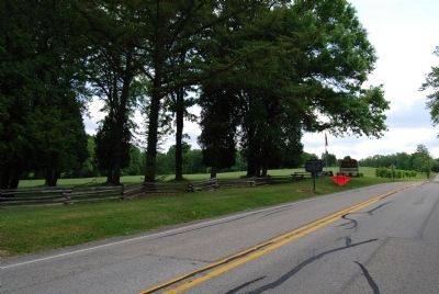
Photographed by Mike Wintermantel, May 22, 2012
2. Bushy Run Battlefield Marker
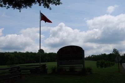
Photographed by Mike Wintermantel, May 22, 2012
3. Bushy Run Battlefield Entrance Sign
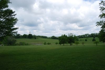
Photographed by Mike Wintermantel, May 22, 2012
4. Part of Bushy Run Battlefield
From entrance on PA 993
Credits. This page was last revised on April 25, 2025. It was originally submitted on May 22, 2012, by Mike Wintermantel of Pittsburgh, Pennsylvania. This page has been viewed 1,266 times since then and 71 times this year. Photos: 1, 2, 3, 4. submitted on May 22, 2012, by Mike Wintermantel of Pittsburgh, Pennsylvania.
