
Near York Beach in York County, Maine — The American Northeast (New England)
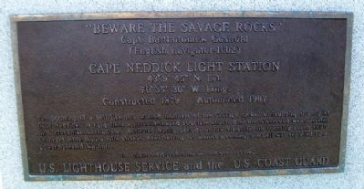
"Beware The Savage Rocks"
Capt. Bartholomew Gosnold
| — | (English navigator - 1602) | — |
Photographed by William Fischer, Jr., September 26, 2011
1. "Beware The Savage Rocks" Marker
43° 9' 45" N. Lat.
70° 35' 30" W. Long.
Constructed 1879 • Automated 1987
The booming of a bell like this warned mariners of the "savage rocks" surrounding this tip of Cape Neddick. It hung from a pyramid-shaped structure attached to the tower, and was operated by a clock-like mechanism. Activated during periods of low visibility, its booming sound could be heard more than a mile at sea. After serving for almost a century, the bell was replaced by a power-operated fog horn.
This plaque is dedicated to the men and women of the
U.S. Lighthouse Service and the U.S. Coast Guard
Topics and series. This historical marker is listed in these topic lists: Communications • Natural Features • Waterways & Vessels. In addition, it is included in the Lighthouses series list. A significant historical year for this entry is 1879.
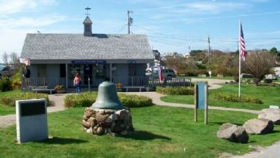
Location. 43° 9.934′ N, 70° 35.628′ W. Marker is near York Beach, Maine, in York County. It is on Sohier Park Road, on the right when traveling east. Marker is immediately northeast of the Sohier Park Welcome Center and Gift Shop. Touch for map. Marker is at or near this
this page online

Regionally, this marker is on Southern Maine Coast. It is also in the American Northeast, in New England, and on the Eastern Seaboard. Globally, it is in the North Atlantic Region, North America, the Western Hemisphere, the Western World, and the Anglosphere.
Other nearby markers. At least 8 other markers are within 4 miles of this marker, measured as the crow flies: "Nubble Light House" (about 300 feet away, measured in a direct line); Maine's Coastal Sand Dunes (approx. 1.2 miles away); Boon Island Light / Long Sands Beach / York's Big Hotel Era (approx. 1½ miles away); The Redshirts of York (approx. 3.1 miles away); York Village & Corner Fire Department (approx. 3.1 miles away); Hartley Mason (approx. 3.2 miles away); Hartley Mason Reservation (approx. 3.2 miles away); The Marshall House / Sea Urchin Bathhouses / Stage Neck Island (approx. 3.2 miles away).
Photographed by William Fischer, Jr., September 26, 2011
2. "Beware The Savage Rocks" Marker
Photographed by William Fischer, Jr., September 26, 2011
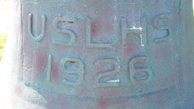
3. Bell next to "Beware The Savage Rocks" Marker
Photographed by William Fischer, Jr., September 26, 2011
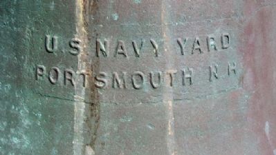
4. Bell next to "Beware The Savage Rocks" Marker
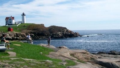
Photographed by William Fischer, Jr., September 26, 2011
5. View of Rocky Shore Along Cape Neddick
Credits. This page was last revised on February 12, 2023. It was originally submitted on May 24, 2012, by William Fischer, Jr. of Reynoldsburg, Ohio. This page has been viewed 808 times since then and 39 times this year. Photos: 1, 2, 3, 4, 5. submitted on May 24, 2012, by William Fischer, Jr. of Reynoldsburg, Ohio.
