Near Sharpsburg in Washington County, Maryland — The American Northeast (Mid-Atlantic)
D.H. Hill's Division
(September 17, 1862)
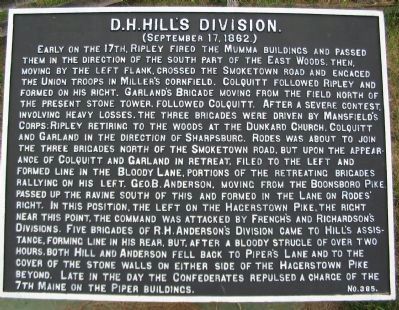
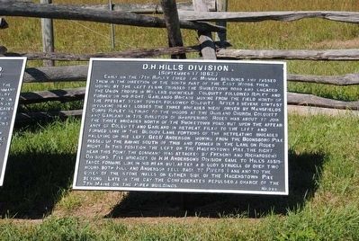
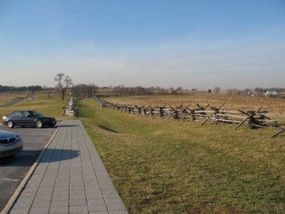
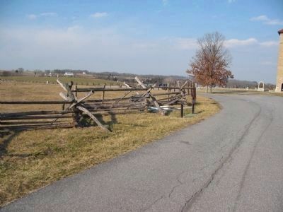
Early on the 17th, Ripley fired the Mumma Buildings and passed them in the direction of the south part of the East Woods, then, moving by the left flank, crossed the Smoketown Road and engaged Union troops in Miller's Cornfield. Colquitt followed Ripley and formed on his right. Garland's Brigade moving from the field north of the present stone tower, followed Colquitt. After a severe contest, involving heavy losses, the three brigades were driven by Mansfield's Corps; Ripley retiring to the woods at the Dunkard Church, Colquitt and Garland in the direction of Sharpsburg. Rodes was about to join the three brigades north of the Smoketown Road, but upon the appearance of Colquitt and Garland in retreat, filed to the left and formed line in the Bloody Lane. Portions of the retreating Brigades rallying on his left. Geo. B. Anderson, moving from the Boonsboro Pike, passed up the ravine south of this and formed in the Lane on Rodes' right. In this position, the left on the Hagerstown Pike, the right near this point, the command was attacked by French's and Richardson's Divisions. Five brigades of R.H. Anderson's Division came to Hill's assistance, forming line in his rear, but after a bloody struggle of over two hours, both Hill and Anderson fell back to Piper's Lane and to the cover of the stone walls on either side of the Hagerstown Pike beyond. Late in the day the Confederates repulsed a charge of the 7th Maine on the Piper buildings.
Erected by Antietam Battlefield Board. (Marker Number 385.)
Topics and series. This historical marker is listed in this topic list: War, US Civil. In addition, it is included in the Antietam Campaign War Department Markers series list.
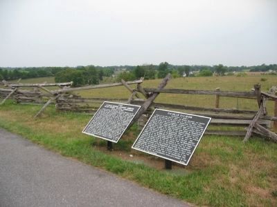
Location. 39° 28.128′ N, 77° 44.182′ W. Marker is near Sharpsburg, Maryland, in Washington County. Marker is on Richardson Avenue, on the right when traveling south. One of two markers located just past the Observation Tower, stop eight, on the driving tour of Antietam Battlefield. Touch for map. Marker is in this post office area: Sharpsburg MD 21782, United States of America. Touch for directions.
Other nearby markers. At least 8 other markers are within walking distance of this marker. D.H. Hill's Division, Jackson's Command (here, next to this marker); War Department Observation Tower (within shouting distance of this marker); Irish Brigade (within shouting distance of this marker); Major General Israel B. Richardson (within shouting distance of this marker); Hexamer's (New Jersey) Battery (within shouting distance of this marker); Army of Northern Virginia (about 300 feet away, measured in a direct line); a different marker also named Army of Northern Virginia (about 300 feet away); September 17, 1862 (Continued) (about 300 feet away). Touch for a list and map of all markers in Sharpsburg.
Regarding D.H. Hill's Division. This marker is included on the Sunken Road or Bloody Lane Virtual Tour by Markers see the Virtual tour link below to see the markers in sequence.
Also see . . .
1. Antietam Battlefield. National Park Service site. (Submitted on February 22, 2008, by Craig Swain of Leesburg, Virginia.)
2. D.H. Hill's Division. Hill discussed the losses incurred at Antietam at length in his official report. Out of 5,000 men in his division, nearly two-thirds were listed as killed, wounded, or missing from the actions involving the Antietam Campaign. (Submitted on February 22, 2008, by Craig Swain of Leesburg, Virginia.)
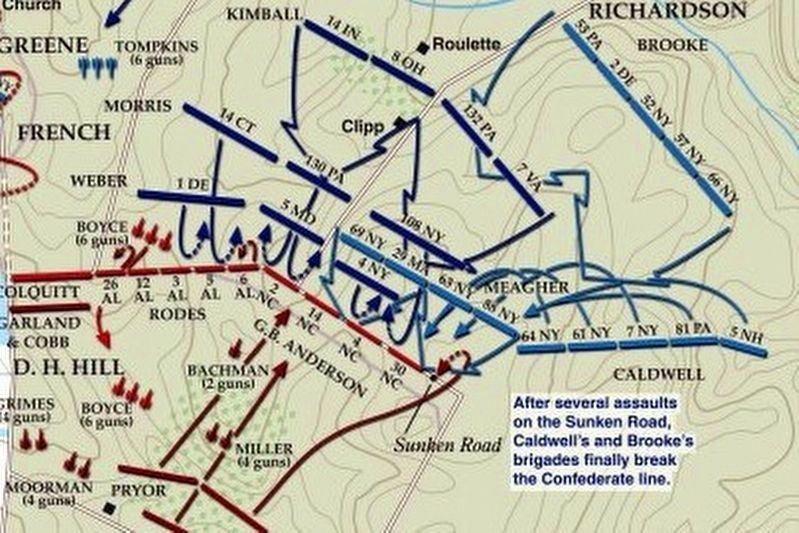
via American Battlefield Trust, unknown
7. Sunken Road or Bloody Lane Virtual Tour by Markers.
A collection of markers interpreting the action of during the Battle of Antietam around the Sunken Road.
(Submitted on February 23, 2008, by Craig Swain of Leesburg, Virginia.)
Click for more information.
(Submitted on February 23, 2008, by Craig Swain of Leesburg, Virginia.)
Click for more information.
Credits. This page was last revised on April 3, 2022. It was originally submitted on February 22, 2008, by Craig Swain of Leesburg, Virginia. This page has been viewed 1,016 times since then and 11 times this year. Photos: 1. submitted on February 22, 2008, by Craig Swain of Leesburg, Virginia. 2. submitted on September 30, 2015, by Brian Scott of Anderson, South Carolina. 3. submitted on February 22, 2008, by Craig Swain of Leesburg, Virginia. 4. submitted on September 30, 2015, by Brian Scott of Anderson, South Carolina. 5. submitted on February 22, 2008, by Craig Swain of Leesburg, Virginia. 6. submitted on February 23, 2008, by Craig Swain of Leesburg, Virginia. 7. submitted on April 3, 2022, by Larry Gertner of New York, New York.
