Barcroft in Arlington in Arlington County, Virginia — The American South (Mid-Atlantic)
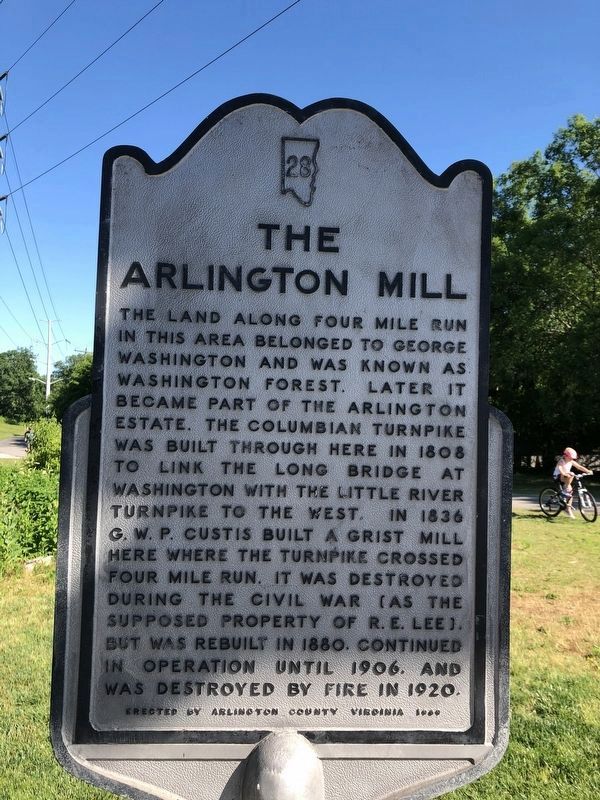
The Arlington Mill
Erected 1949 by Arlington County Virginia. (Marker Number 28.)
Topics. This historical marker is listed in these topic lists: Industry & Commerce • Roads & Vehicles • War, US Civil. A significant historical year for this entry is 1808.
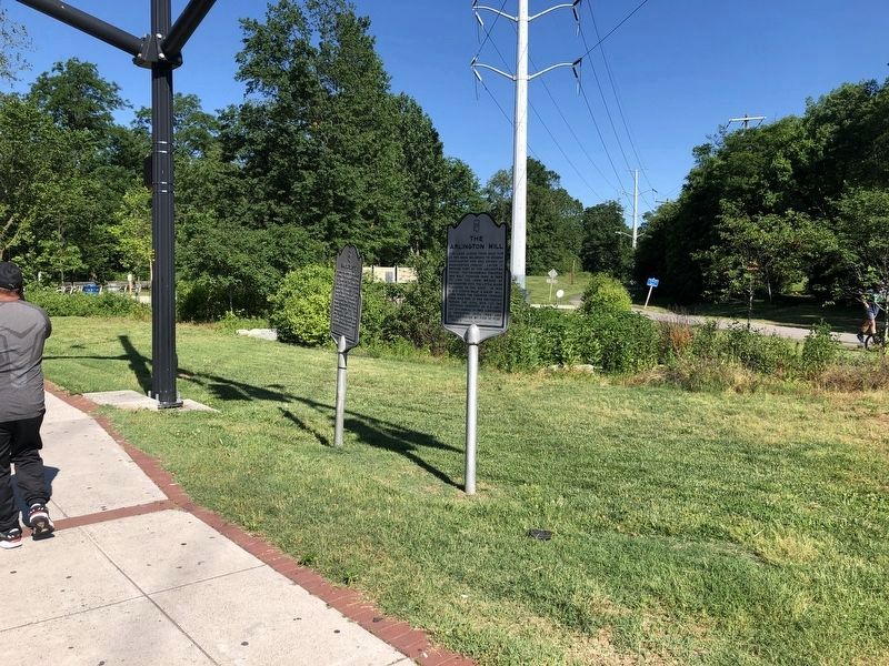
Location. 38° 51.389′ N, 77° 6.593′ W. Marker is in Arlington, Virginia, in Arlington County. It is in Barcroft. Marker is at the intersection of Columbia Pike (Virginia Route 244) and South Four Mile Run Drive, on the right when traveling west on Columbia Pike. Touch for map. Marker is in this post office area: Arlington VA 22204, United States of America. Touch for directions.
Other nearby markers. At least 8 other markers are within walking distance of this marker. Barcroft (here, next to this marker); Flow Of Time (within shouting distance of this marker); Early Engagement (about 500 feet away, measured in a direct line); Barcroft Community House (approx. 0.2 miles away); Original Federal Boundary Stone, District of Columbia, Southwest 6 (approx. 0.6 miles away); Reeb Hall (approx. 0.8 miles away); Unitarian Universalist Church of Arlington, Virginia Sanctuary (approx. 0.8 miles away); Carlin Springs (approx. 0.9 miles away). Touch for a list and map of all markers in Arlington.
Credits. This page was last revised on February 1, 2023. It was originally submitted on June 16, 2012, by Kevin Vincent of Arlington, Virginia. This page has been viewed 1,310 times since then and 82 times this year. Photos: 1, 2. submitted on June 7, 2020, by Devry Becker Jones of Washington, District of Columbia. 3. submitted on May 16, 2013, by Kevin Vincent of Arlington, Virginia. • Bernard Fisher was the editor who published this page.


