Kinderhook in Columbia County, New York — The American Northeast (Mid-Atlantic)
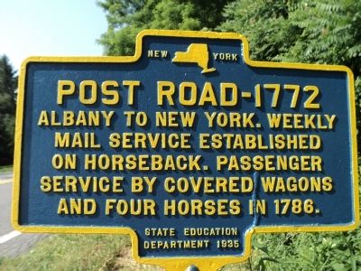
Post Road - 1772
mail service established
on horseback. Passenger
service by covered wagons
and four horses in 1786.
Erected 1935 by New York State Education Department.
Topics. This historical marker is listed in these topic lists: Colonial Era • Roads & Vehicles. A significant historical year for this entry is 1786.
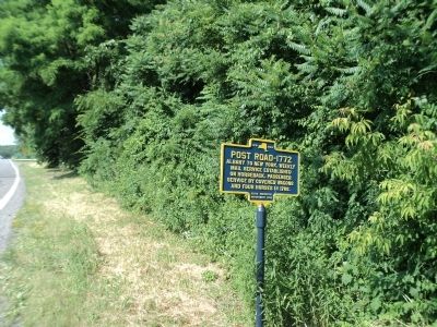
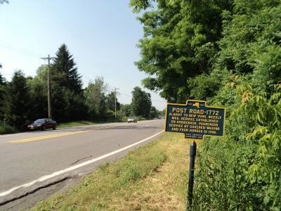
Location. 42° 23.323′ N, 73° 41.292′ W. Marker is in Kinderhook, New York, in Columbia County. Marker is on New York State Route 9H south of Hudson Avenue (County Route 21), on the right when traveling north. Touch for map. Marker is in this post office area: Kinderhook NY 12106, United States of America. Touch for directions.
Other nearby markers. At least 8 other markers are within walking distance of this marker. Birthsite (approx. 0.4 miles away); Colonial Dutch Houses (1690-1750) (approx. half a mile away); Van Alen Homestead (approx. half a mile away); Enslavement In The Hudson Valley (approx. 0.6 miles away); Early Dutch Settlers (approx. 0.6 miles away); Ichabod Crane (approx. 0.6 miles away); Heermance House (approx. 0.6 miles away); One-Room Schoolhouses (approx. 0.6 miles away). Touch for a list and map of all markers in Kinderhook.
Credits. This page was last revised on June 16, 2016. It was originally submitted on June 21, 2012, by Bill Coughlin of Woodland Park, New Jersey. This page has been viewed 509 times since then and 12 times this year. Photos: 1, 2, 3, 4. submitted on June 21, 2012, by Bill Coughlin of Woodland Park, New Jersey.


