Black Rock in Buffalo in Erie County, New York — The American Northeast (Mid-Atlantic)
The Pan-American Exposition
Historic New York
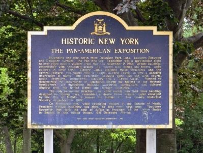
Extending one mile north from Delaware Park Lake, between Elmwood and Delaware Avenues, the Pan-American Exposition was a spectacular sight to over eight million visitors from May 1 to November 2, 1901. Ornate buildings, embellished with decorated arches and topped with domes and towers, were colored in vivid hues. Electric lights outlined these structures and the central feature, the nearly 400-foot-high Electric Tower, to give a dazzling impression at night. The exposition grounds were laid out with courts, pools, fountains, colonnades, statuary and a “Grand Canal.” Planned to demonstrate the importance of commerce among the nations of the Western Hemisphere, the exposition included industrial, agricultural and cultural displays from the United States and foreign countries.
The only permanent structure, the white marble New York State building, designed by George Cary, resembled a classic Greek template. Later enlarged by the City of Buffalo, it houses the Buffalo and Erie County Historical Society, organized in 1862.
On September 6th, while receiving visitors at the Temple of Music, President William McKinley was shot; he died eight days later. Theodore Roosevelt then took the oath of office as President of the United States in the Wilcox House, 641 Delaware Avenue.
Erected 1967 by New York State Education Department.
Topics and series. This historical marker is listed in these topic lists: Agriculture • Industry & Commerce • Man-Made Features. In addition, it is included in the Former U.S. Presidents: #25 William McKinley, the Former U.S. Presidents: #26 Theodore Roosevelt, and the Historic New York State series lists. A significant historical month for this entry is May 1991.
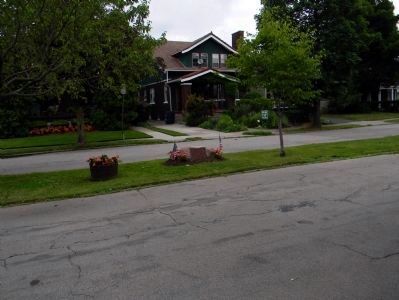
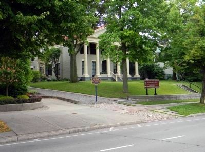
Location. 42° 56.1′ N, 78° 52.613′ W. Marker is in Buffalo, New York, in Erie County. It is in Black Rock. Marker can be reached from Nottingham Terrace east of Elmwood Avenue. The marker is located at the south end of parking lot of the Buffalo & Erie County Historical Society. Touch for map. Marker is at or near this postal address: 25 Nottingham Court, Buffalo NY 14216, United States of America. Touch for directions.
Other nearby markers. At least 8 other markers are within walking distance of this marker. Highlights of Buffalo History (within shouting distance of this marker); Historic Scajaquada Creek (about 300 feet away, measured in a direct line); To Commemorate the Gallantry of (about 300 feet away); The Japanese Garden on Mirror Lake (about 400 feet away); a different marker also named Pan-American Exposition (approx. 0.2 miles away); Buffalo's Olmsted Parks (approx. ¼ mile away); President McKinley (approx. 0.3 miles away); McMillan (approx. half a mile away). Touch for a list and map of all markers in Buffalo.
Also see . . .
1. Pan-American Exposition. Wikipedia entry (Submitted on January 2, 2022, by Larry Gertner of New York, New York.)
2. Pan American Exposition 1901 Buffalo. Doing The Pan website entry:
The Pan American Exposition from the point of view of those visiting it. Includes a self-guided virtual tour. (Submitted on July 2, 2012, by PaulwC3 of Northern, Virginia.)
Credits. This page was last revised on February 16, 2023. It was originally submitted on July 2, 2012, by PaulwC3 of Northern, Virginia. This page has been viewed 1,022 times since then and 26 times this year. Photos: 1, 2, 3. submitted on July 2, 2012, by PaulwC3 of Northern, Virginia. 4, 5. submitted on June 28, 2011, by PaulwC3 of Northern, Virginia.


