Marker Logo HMdb.org THE HISTORICAL
MARKER DATABASE
“Bite-Size Bits of Local, National, and Global History”
Starr in Anderson County, South Carolina — The American South (South Atlantic)
 

Hartwell Lake

Corps of Engineers, U.S. Army, Savannah District


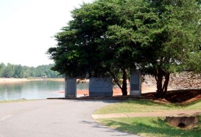
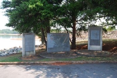
Hartwell Lake Markers image. Click for full size.
Photographed By Brian Scott, July 7, 2012
1. Hartwell Lake Markers
Inscription.
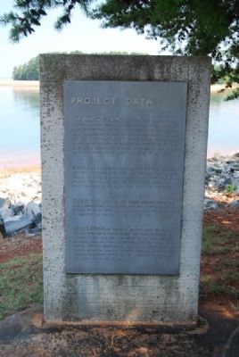
Project Data
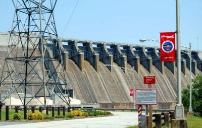
The Hartwell Project, second in a series of multi-purpose projects planned for the Savannah River Basin, was constructed between October 1955 and December 1963 at a cost of about $90,000,000. The concrete dam rises 204 feet above the streambed. The main dam, including earth fill portions is 3.37 miles long. At full power, the reservoir is 660 feet above mean sea level with a surface area of 55,950 acres and contains enough water to cover 2,549,600 acres to a depth of one foot.

Power -- The power plant is designed for five generating units, four 66,000 kilowatt unis have been installed and produce 264,000 kilowatts of power or enough to supply the needs of a quarter million people. When the fifth unit is installed, the total capacity of the plant will be 380,000 kilowatts.

Flood Control -- Hartwell Project regulates stream flow from a drainage area of 2,086 square miles, with an average annual rainfall of over 62 inches. 298,00 acre feet above elevation 660 is reserved for use in controlling floods.

Recreation -- The reservoir extends about 48 miles up Tugaloo River and 34 miles up Seneca River from the dam site and at full power pool has a shoreline of 962 miles. Numerous recreation areas for public use, including tent and trailer camps, marinas,
Paid Advertisement
Click on the ad for more information.
Please report objectionable advertising to the Editor.
Click or scan to see
this page online
launching ramps, scenic overlooks, and picnic areas are located around the reservoir. A museum display located at the reservoir management office and the powerhouse below the dam are both open to the public.
 
Topics. This historical marker is listed in these topic lists: Man-Made FeaturesWaterways & Vessels. A significant historical year for this entry is 1955.
 
Location. 34° 22.067′ N, 82° 48.95′ W. Marker is in Starr, South Carolina, in Anderson County. Marker can be reached from U.S. 29. Marker is located in a small park located north of the Overlook Walkway. Touch for map. Marker is in this post office area: Starr SC 29684, United States of America. Touch for directions.
 
Other nearby markers. At least 10 other markers are within 7 miles of this marker, measured as the crow flies. Louie Morris Memorial Bridge (approx. one mile away in Georgia); Ruhamah United Methodist Church (approx. 1.7 miles away); Hillard J. Mullenix (approx. 5.3 miles away in Georgia); Nancy Hart (approx. 5.6 miles away in Georgia); Jackson Morrison House (approx. 6.2 miles away in Georgia); Hart County Training School (approx. 6.4 miles away in Georgia); Roberts Church (approx. 6.4 miles away); Horton-Vickery House (approx. 6.6 miles away in Georgia); Coca-Cola Bottling Plant (approx. 6.7 miles away in Georgia); Hartwell REO Company (approx. 6.7 miles away in Georgia).
 
Also see . . .  Lake Hartwell
Hartwell Lake Marker<br>Left Inscription image. Click for full size.
Photographed By Brian Scott, July 7, 2012
2. Hartwell Lake Marker
Left Inscription
. Lake Hartwell is a man-made reservoir bordering Georgia and South Carolina on the Savannah, Tugaloo, and Seneca Rivers. (Submitted on July 27, 2012, by Brian Scott of Anderson, South Carolina.) 
 
Hartwell Lake Marker<br>Center Inscription image. Click for full size.
Photographed By Brian Scott, July 7, 2012
3. Hartwell Lake Marker
Center Inscription
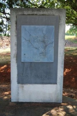
Hartwell Lake Marker<br>Right Marker<br>Map of Lake Hartwell image. Click for full size.
Photographed By Brian Scott, July 7, 2012
4. Hartwell Lake Marker
Right Marker
Map of Lake Hartwell
Hartwell Lake Markers image. Click for full size.
Photographed By Brian Scott, July 7, 2012
5. Hartwell Lake Markers
Defaced Hartwell Marker<br>Its Inscriptions are Unknown<br>South Carolina Side image. Click for full size.
Photographed By Brian Scott, July 7, 2012
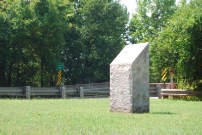
6. Defaced Hartwell Marker
Its Inscriptions are Unknown
South Carolina Side
Nearby Picnic Area image. Click for full size.
Photographed By Brian Scott, July 7, 2012
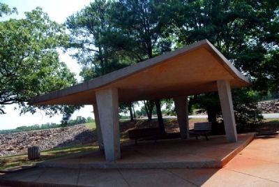
7. Nearby Picnic Area
Hartwell Lake 50th Anniversary Marker<br>Georgia Side Near Dam Base image. Click for full size.
Photographed By Brian Scott, July 7, 2012
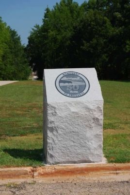
8. Hartwell Lake 50th Anniversary Marker
Georgia Side Near Dam Base
Hartwell Lake 50th Anniversary Marker image. Click for full size.
Photographed By Brian Scott, July 7, 2012
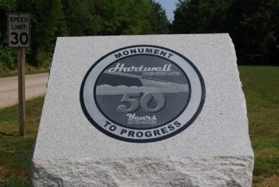
9. Hartwell Lake 50th Anniversary Marker
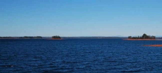
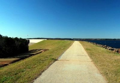
Hartwell Lake<br>From Overlook Walkway<br>South Carolina Side image. Click for full size.
Photographed By Brian Scott, January 2, 2012
10. Hartwell Lake
From Overlook Walkway
South Carolina Side
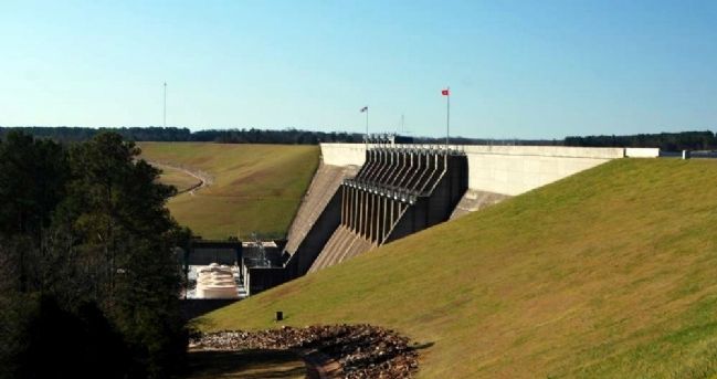
Hartwell Dam<br>From Overlook Walkway<br>South Carolina Side image. Click for full size.
Photographed By Brian Scott, January 2, 2012
11. Hartwell Dam
From Overlook Walkway
South Carolina Side
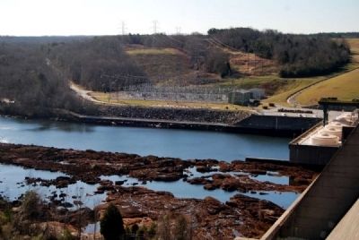
Hartwell Dam<br>Georgia Shore image. Click for full size.
Photographed By Brian Scott, 155
12. Hartwell Dam
Georgia Shore
Hartwell Dam<br>U.S. Highway 29 Bridge<br>Georgia Side image. Click for full size.
Photographed By Brian Scott, July 7, 2012
13. Hartwell Dam
U.S. Highway 29 Bridge
Georgia Side
Hartwell Dam<br>From Base<br>Georgia Side image. Click for full size.
Photographed By Brian Scott, July 7, 2012
14. Hartwell Dam
From Base
Georgia Side
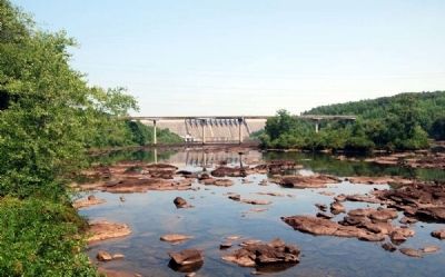
Shoals at the Dam Base<br>Starting Waters of Richard B. Russell Lake image. Click for full size.
Photographed By Brian Scott, July 7, 2012
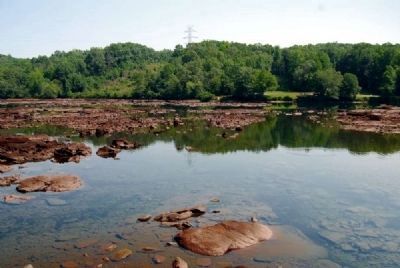
15. Shoals at the Dam Base
Starting Waters of Richard B. Russell Lake
Louie Morris Memorial Bridge<br>U.S. Highway 29 image. Click for full size.
Photographed By Brian Scott, July 7, 2012
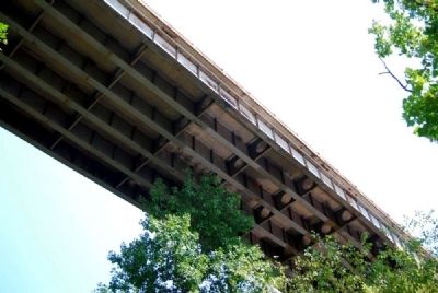
16. Louie Morris Memorial Bridge
U.S. Highway 29
Stairway to Overlook Walkway<br>South Carolina Side image. Click for full size.
Photographed By Brian Scott, January 2, 2012
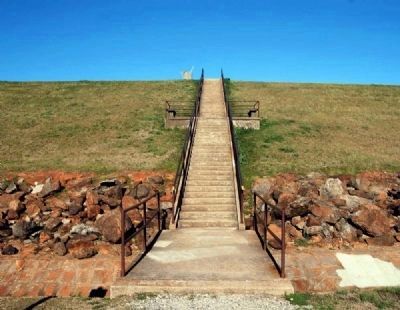
17. Stairway to Overlook Walkway
South Carolina Side
Overlook Walkway<br>Dam in Center Right image. Click for full size.
Photographed By Brian Scott, January 2, 2012
18. Overlook Walkway
Dam in Center Right
 
 
Credits. This page was last revised on October 16, 2020. It was originally submitted on July 27, 2012, by Brian Scott of Anderson, South Carolina. This page has been viewed 859 times since then and 32 times this year. Photos:   1, 2, 3, 4, 5, 6, 7, 8, 9, 10, 11, 12, 13, 14, 15, 16, 17, 18. submitted on July 27, 2012, by Brian Scott of Anderson, South Carolina.
Share this page.  
Share on Tumblr
m=57899

CeraNet Cloud Computing sponsors the Historical Marker Database.
This website earns income from purchases you make after using our links to Amazon.com. We appreciate your support.
Paid Advertisement
Apr. 25, 2024