Wilton in Saratoga County, New York — The American Northeast (Mid-Atlantic)
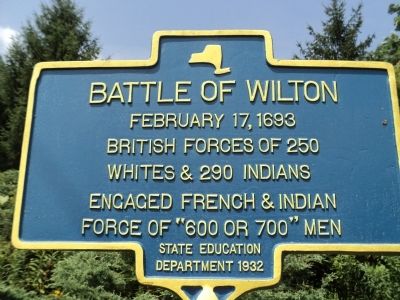
Battle of Wilton
British forces of 250
Whites & 290 Indians
engaged French & Indian
forces of “800 or 700” men.
Erected 1932 by New York State Education Department.
Topics. This historical marker is listed in these topic lists: Colonial Era • War, French and Indian. A significant historical date for this entry is February 17, 1895.
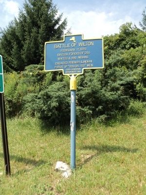
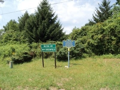
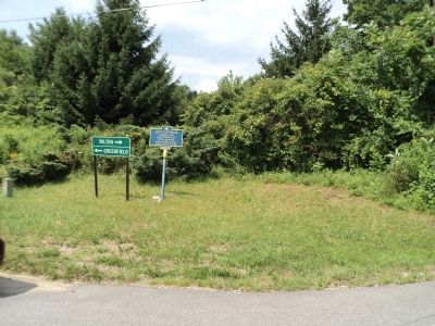
Location. 43° 9.211′ N, 73° 45.936′ W. Marker is in Wilton, New York, in Saratoga County. Marker is on Parkhurst Road near Greenfield Road, on the right when traveling south. Marker is located at the northwest corner of the intersection. Touch for map. Marker is in this post office area: Gansevoort NY 12831, United States of America. Touch for directions.
Other nearby markers. At least 8 other markers are within 4 miles of this marker, measured as the crow flies. Dr. Orra Phelps (approx. 1.3 miles away); Grant Cottage (approx. 2 miles away); a different marker also named Grant Cottage (approx. 2 miles away); a different marker also named Grant Cottage (approx. 2.1 miles away); Emerson’s Tavern (approx. 2.7 miles away); a different marker also named Grant Cottage (approx. 3 miles away); Glen Mitchell (approx. 3.2 miles away); A Feat of Engineering (approx. 3.4 miles away). Touch for a list and map of all markers in Wilton.
Additional commentary.
Click on the ad for more information.
Please report objectionable advertising to the Editor.
sectionheadg>1. Battle of Wilton - February 17, 1693Please report objectionable advertising to the Editor.
In February 1693, a group of French and Indians attacked Mohawk villages that were located to the southwest. About 250 citizens of the New York colony caught up with them at the junction of two war paths near here, one leading to the Mohawk Valley and the other leading to Montreal. After the battle, the French and Indians fled on the Montreal path to a site near Queensbury-Glen Falls. They escaped across a frozen Hudson River which thawed before the pursuing New Yorkers could catch up. This allowed the surviving French and their Indian allies to reach the safety of Canada.
— Submitted August 1, 2012, by Bill Coughlin of Woodland Park, New Jersey.
Credits. This page was last revised on June 16, 2016. It was originally submitted on August 1, 2012, by Bill Coughlin of Woodland Park, New Jersey. This page has been viewed 810 times since then and 26 times this year. Photos: 1, 2, 3, 4. submitted on August 1, 2012, by Bill Coughlin of Woodland Park, New Jersey.


