Maplewood Historic District in Rochester in Monroe County, New York — The American Northeast (Mid-Atlantic)
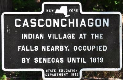
Casconchiagon
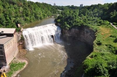
Indian village at the falls nearby. Occupied by Senecas until 1819.
Erected 1932 by State Education Department.
Topics. This historical marker is listed in these topic lists: Native Americans • Waterways & Vessels. A significant historical year for this entry is 1819.
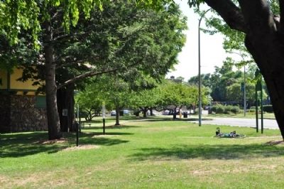
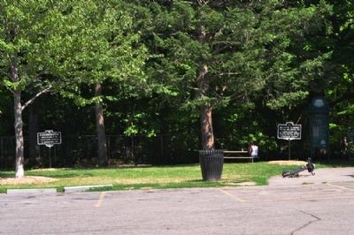
Location. 43° 10.937′ N, 77° 37.79′ W. Marker is in Rochester, New York, in Monroe County. It is in the Maplewood Historic District. Marker can be reached from Maplewood Park near Driving Park Avenue. Marker is located east of the parking area in Maplewood Park. Kelsey's Landing marker is about 20 feet away. Touch for map. Marker is in this post office area: Rochester NY 14613, United States of America. Touch for directions.
Other nearby markers. At least 8 other markers are within 2 miles of this marker, measured as the crow flies. Kelsey's Landing (here, next to this marker); Deaf Education (approx. 0.3 miles away); Samuel Torres (approx. 1.1 miles away); a different marker also named Samuel Torres (approx. 1.2 miles away); Congregation B'Nai Israel (approx. 1.2 miles away); King's Landing 1796 (approx. 1.2 miles away); Genesee River Gorge: Industrial & Urban Development (approx. 1.2 miles away); Genesee River Gorge: Geology (approx. 1.2 miles away). Touch for a list and map of all markers in Rochester.
Credits. This page was last revised on February 16, 2023. It was originally submitted on August 9, 2012, by Yugoboy of Rochester, New York. This page has been viewed 710 times since then and 49 times this year. Photos: 1, 2, 3, 4, 5. submitted on August 9, 2012, by Yugoboy of Rochester, New York. • Bill Pfingsten was the editor who published this page.
