Brule in Douglas County, Wisconsin — The American Midwest (Great Lakes)
Brule River
Photographed by Paul Fehrenbach, August 14, 2012
1. Brule River Marker
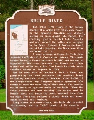
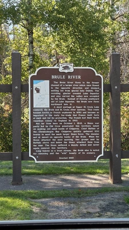
A short portage at Upper St. Croix Lake connects the Brule and St. Croix river systems. This route became known to French explorers in 1680 and became so important in the early fur-trade that France built forts at each end for its protection. The French lost their North American colony to England in 1763.
Not far from here on October 1, 1842, a Sioux war party led by Old Crow penetrated this territory intent on seeking out small bands of Chippewa. Chief Buffalo of the Chequamegon Bay Chippewa quickly gathered 200 braves to meet the much larger Sioux force. The enemies met at sunset on opposite banks of the Brule. When the Sioux attacked the next morning, two groups sent by Buffalo above and below the Sioux attacked them from the rear. The Sioux suffered a bloody defeat and never
this page online
Long famous as a trout stream, the Brule also is noted for canoeing and the “wild” beauty of its scenery.
Erected 1969 by Wisconsin State Historical Society. (Marker Number 170.)
Topics and series. This historical marker is listed in these topic lists: Exploration • Indigenous Peoples and Communities • Industry & Commerce • Waterways & Vessels. In addition, it is included in the Wisconsin Historical Society series list. A significant historical month for this entry is October 1846.
Location. 46° 32.988′ N, 91° 35.17′ W. Marker is in Brule, Wisconsin, in Douglas County. It is at the intersection of U.S. 2 and Ranger Road, on the right when traveling east on U.S. 2. Marker is located in the Brule River Rest Area. Touch for map. Marker is in this post office area: Brule WI 54820, United States of America. Touch for directions.

Regionally, this marker is in Greater Duluth — The Twin Ports and on the North Shore. It is also in the American Midwest, in the Corn Belt, and on Lake Superior’s South Shore Region. Globally, it is in North America, in the Great North Woods, on the Great
Photographed by Paul Fehrenbach, August 14, 2012
2. Brule River Marker
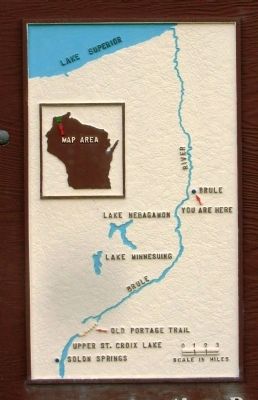
Close up of inset map in upper left hand corner.
Other nearby markers. At least 4 other markers are within 15 miles of this marker, measured as the crow flies: Daniel Greysolon Sieur Dulhut (about 300 feet away, measured in a direct line); Evergreen Park Cottage Sanatorium (approx. 5.9 miles away); Brule-St. Croix Portage (approx. 14.8 miles away); The Brule St. Croix Portage (approx. 14.8 miles away).
Photographed by Greta Schassler, September 26, 2025
3. Brule River Marker
Photographed by Paul Fehrenbach, August 14, 2012
4. Brule River Marker
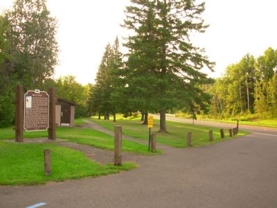
Looking west toward river.
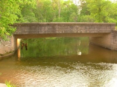
Photographed by Paul Fehrenbach, August 14, 2012
5. Brule River
and foot bridge located a short walk west of the marker.
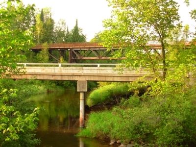
Photographed by Paul Fehrenbach, August 14, 2012
6. Brule River
U.S. Hwy 2 and railroad bridge over the Brule River.
Credits. This page was last revised on September 29, 2025. It was originally submitted on August 17, 2012, by Paul Fehrenbach of Richfield, Wisconsin. This page has been viewed 1,188 times since then and 78 times this year. Photos: 1, 2. submitted on August 17, 2012, by Paul Fehrenbach of Richfield, Wisconsin. 3. submitted on September 26, 2025, by Greta Mulder of Milwaukee, Wisconsin. 4, 5, 6. submitted on August 17, 2012, by Paul Fehrenbach of Richfield, Wisconsin. • Bernard Fisher was the editor who published this page.
