Petersburg in Grant County, West Virginia — The American South (Appalachia)
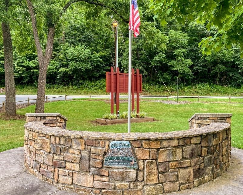
Welton Park
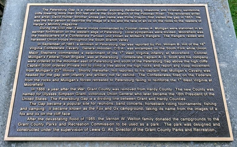
During the Civil War, Federal troops commanded by Colonel James A Mulligan were stationed in an earthen fortification of the western edge of Petersburg. Local sympathies were divided. Moorefield was the headquarters of a Confederate Partisan unit known as McNeillís Rangers. The Rangers raided and harassed Union troops throughout the South Branch Valley.
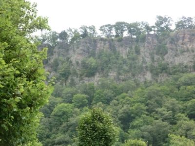
In September of 1863, a skirmish at Petersburg Gap was reported by Pvt. William B. Hill of the 18th Virginia Confederate Cavalry. General Imboden, C.S.A., was encamped on the South Fork while Union Major Stephens commanded a detachment of the 1st West Virginia infantry at Moorefield. Colonel Mulliganís Federal “Irish Brigade” was at Petersburg. Confederate Captain A.S. Scott and his company were ordered to the mountain east of Petersburg and south of the Petersburg Gap above the high cliffs. Captain Scott ordered Private Hill to climb a tree above the high rocks and report any troop movement from Mulliganís 23rd Illinois. Shortly thereafter, Hill reported to his captain that Mulliganís Cavalry was headed for the gap with infantry and artillery not far behind. The Confederates fired on the Federals from the rocks and Mulliganís forces retreated to Petersburg failing to reinforce the 1st West Virginia at Moorefield.
In 1866, a year after the War, Grant County was removed from Hardy County. The new County was named for Ulysses Simpson Grant, victorious Union General who later became the 18th President of the United States. The Petersburg Gap is the dividing line between Grant and Hardy Counties.
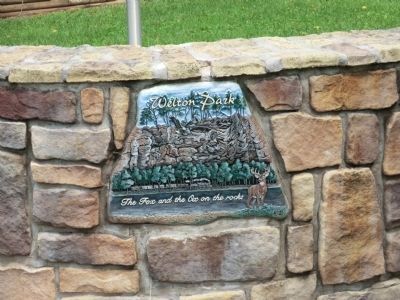
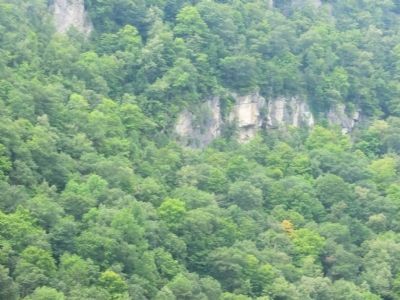
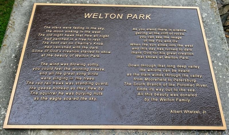
The Gap became a popular site for reunions, band concerts, horseback riding tournaments, fishing and camping. It became known as the Fox and Ox Campground, taking its name from the images of a fox and ox on the cliff face.
After the devastating flood of 1985, the Vernon W. Welton family donated the campgrounds to the Grant County Parks and Recreation Commission to be used as a park. The park was designed and constructed under the supervision of Lewis G. Alt, Director of the Grant County Parks and recreation.
Topics. This historical marker is listed in these topic lists: Natural Features • War, US Civil. A significant historical month for this entry is September 1863.
Location. 39° 0.084′ N, 79° 5.088′ W. Marker is in Petersburg, West Virginia, in Grant County. Marker is on U.S. 220. Located in Weldon Park. Touch for map. Marker is in this post office area: Petersburg WV 26847, United States of America. Touch for directions.
Other nearby markers. At least 8 other markers are within 3 miles of this marker, measured as the crow flies. Grant County / Hardy County (about 600 feet away, measured in a direct line); The Tannery in Petersburg, WV (approx. 2 miles away); Fort Mulligan (approx. 2 miles away); Maple Hill Cemetery (approx. 2.1 miles away); War in Grant County (approx. 2.4 miles away); a different marker also named Fort Mulligan (approx. 2.8 miles away); Fairfax Line (approx. 2.8 miles away); A Strategic Location (approx. 2.9 miles away). Touch for a list and map of all markers in Petersburg.
Credits. This page was last revised on May 12, 2021. It was originally submitted on August 23, 2012, by Don Morfe of Baltimore, Maryland. This page has been viewed 902 times since then and 58 times this year. Photos: 1. submitted on May 12, 2021, by Shane Oliver of Richmond, Virginia. 2. submitted on August 23, 2012, by Don Morfe of Baltimore, Maryland. 3. submitted on May 12, 2021, by Shane Oliver of Richmond, Virginia. 4. submitted on August 23, 2012, by Don Morfe of Baltimore, Maryland. 5. submitted on August 30, 2012, by Don Morfe of Baltimore, Maryland. 6. submitted on May 12, 2021, by Shane Oliver of Richmond, Virginia. • Craig Swain was the editor who published this page.
