Near Manassas in Prince William County, Virginia — The American South (Mid-Atlantic)
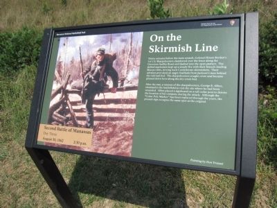
On the Skirmish Line
Second Battle of Manassas
— Day Three - August 30, 1862 - 2:30 p.m. —
Inscription.
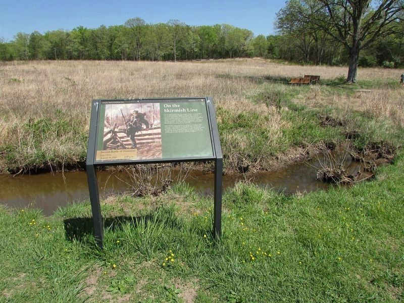
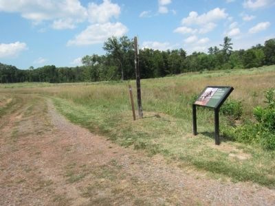
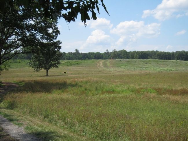
Thirty minutes before the main assault, Colonel Hiram Berdan's 1st U.S. Sharpshooters clambered over the fence along the Groveton-Sudley Road and dashed into the open pasture. The skilled marksmen kept up a steady fire with their breech-loading Sharps rifles, driving back Confederate skirmishers. Their advance provoked an angry fusillade from Jackson's men behind the railroad bed. The sharpshooters sought cover and became pinned down here along the dry creek bed.
After the war, a veteran of the sharpshooters, George E. Albee, returned to the battlefield to visit the site where he had been wounded. Albee placed a signboard on a tall cedar pole post to denote the location of his company during the attack. Although the "Cedar Pole Marker" has been replaced through the years, the present sign occupies the same spot as the original.
Erected by Manassas National Battlefield Park - National Park Service - Department of the Interior.
Topics. This historical marker is listed in this topic list: War, US Civil.
Location. 38° 49.174′ N, 77° 33.072′ W. Marker is near Manassas, Virginia, in Prince William County. Marker is on Featherbed Lane (County Route 622), on the right when traveling south. Located on the Deep Cut Trail, along the old railroad bed, in Manassas National Military Park. Touch for map. Marker is in this post office area: Manassas VA 20109, United States of America. Touch for directions.
Other nearby markers. At least 8 other markers are within walking distance of this marker. The Wisconsin Company (here, next to this marker); Attack at Deep Cut (about 500 feet away, measured in a direct line); 83rd Pennsylvania Infantry (approx. 0.2 miles away); Groveton Memorial (approx. 0.2 miles away); Groveton Monument (approx. 0.2 miles away); Fourth Brigade (approx. 0.2 miles away); The Rock Fight (approx. 0.2 miles away); 24th New York Infantry (approx. 0.2 miles away). Touch for a list and map of all markers in Manassas.
Credits. This page was last revised on May 10, 2023. It was originally submitted on August 27, 2012, by Craig Swain of Leesburg, Virginia. This page has been viewed 668 times since then and 19 times this year. Photos: 1. submitted on August 27, 2012, by Craig Swain of Leesburg, Virginia. 2. submitted on April 29, 2023, by Bill Coughlin of Woodland Park, New Jersey. 3, 4. submitted on August 27, 2012, by Craig Swain of Leesburg, Virginia.


