Near Manassas in Prince William County, Virginia — The American South (Mid-Atlantic)
Hazel Plain
Inscription.
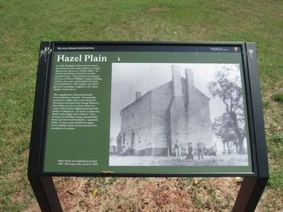
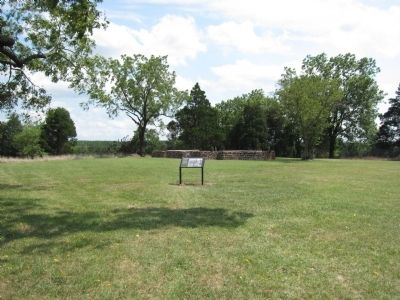
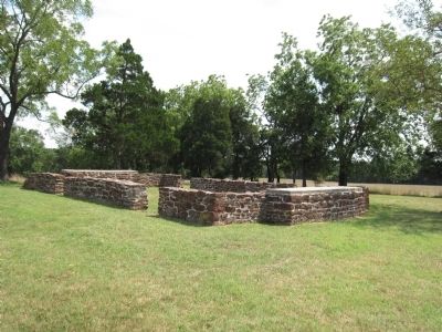
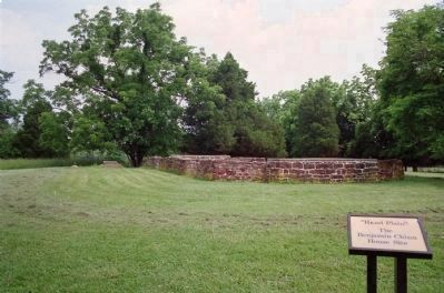
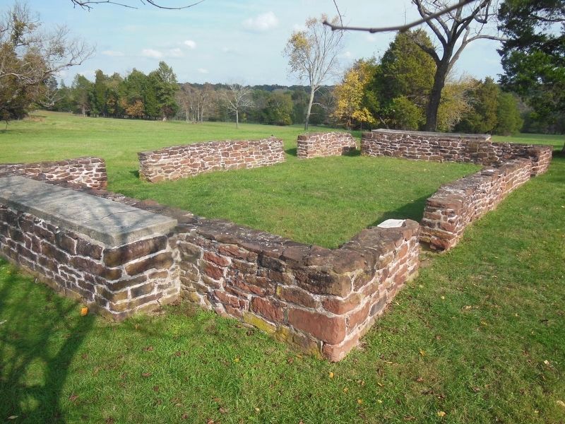
In 1860, Benjamin Chinn and his family lived here in a two-and-a-half story frame farmhouse. Known as "Hazel Plain," the modest plantation comprised several hundred acres. The property was typical of those in Prince William County, yielding wheat, corn, oats, and potatoes for cash and subsistence. Like roughly one-third of their immediate neighbors, the Chinn family owned slaves.
War engulfed the Chinn homestead twice in thirteen months. Prominently located on a high ridge overlooking the Warrenton Turnpike and Young's Branch, Hazel Plain stood as a silent witness to some of the heaviest fighting during both battles of Manassas. On each occasion the family took refuge with relatives. They returned to find their house stained with blood and their well fouled by amputated limbs. It was a scene familiar to many local residents whose homes stood in the crosshairs of combat.
Erected by Manassas National Battlefield Park - National Park Service - Department of the Interior.
Topics. This historical marker is listed in this topic list: War, US Civil. A significant historical year for this entry is 1860.
Location. 38° 48.378′ N, 77° 32.087′ W. Marker is near Manassas, Virginia, in Prince William County. Marker is on Chinn Ridge Loop, on the right when traveling east. Touch for map. Marker is in this post office area: Manassas VA 20109, United States of America. Touch for directions.
Other nearby markers. At least 8 other markers are within walking distance of this marker. Chinn Ridge (within shouting distance of this marker); a different marker also named Chinn Ridge (about 400 feet away, measured in a direct line); Kemper's Brigade (about 400 feet away); 73rd Ohio Infantry (about 500 feet away); Fight at the Fence Line (about 500 feet away); Second Brigade (approx. 0.2 miles away); a different marker also named Kemper's Brigade (approx. 0.2 miles away); Defending the Cannon (approx. ¼ mile away). Touch for a list and map of all markers in Manassas.
Credits. This page was last revised on May 10, 2023. It was originally submitted on August 27, 2012, by Craig Swain of Leesburg, Virginia. This page has been viewed 791 times since then and 54 times this year. Photos: 1, 2, 3. submitted on August 27, 2012, by Craig Swain of Leesburg, Virginia. 4. submitted on July 8, 2014, by David Graff of Halifax, Nova Scotia. 5. submitted on April 25, 2021, by Bradley Owen of Morgantown, West Virginia.
