Chattanooga in Hamilton County, Tennessee — The American South (East South Central)
Re-Opening the Tennessee River
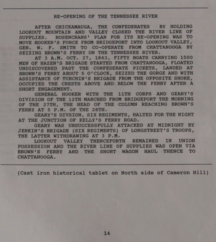
At 3 A.M. Oct. 27, 1863, fifty boats carrying 1500 men of Hazen's Brigade, started from Chattanooga, floated undiscovered past the Confederate pickets, landed at Brown's Ferry about 5 o'clock, seized the gorge, and with the assistance of Turchin's Brigade from the opposite shore, occupied the crests above and below the ferry after a short engagement.
Gen. Hooker with the 11th Corps and Geary's Division of the 12th marched from Bridgeport the morning of the 27th, the head of the column reaching Brown's Ferry at 5 P.M. of the 28th.
Geary's Division, six regiments halted for the night at the junction of the Kelly's Ferry Road.
Geary was unsuccessfully attacked at midnight by Jenkin's Brigade (six regiments) of Longstreet's troops, the latter withdrawing at 3 A.M. on account of the advance of the 11th Corps to Geary's assistance.
Lookout Valley thenceforth remained in Union possession and the river line of supplies was open via Brown's Ferry and the short wagon haul thence to Chattanooga.
Erected 1890 by the Chickamauga-Chattanooga National Battlefield Commission. (Marker Number MT-14.)
Topics. This historical marker is listed in this topic list: War, US Civil. A significant historical year for this entry is 1863.
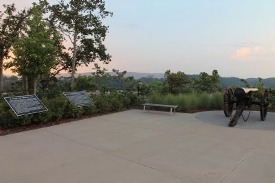
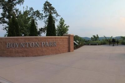
Location. 35° 3.244′ N, 85° 18.998′ W. Marker is in Chattanooga, Tennessee, in Hamilton County. Marker is on Cameron Lane north of Gateway Avenue, on the right when traveling north. This historic marker is located between the northwest side of the downtown business district and the Tennessee River, up on Cameron Hill, overlooking the Tennessee River, in Boynton Park. Touch for map. Marker is in this post office area: Chattanooga TN 37402, United States of America. Touch for directions.
Other nearby markers. At least 8 other markers are within walking distance of this marker. Boynton Park (here, next to this marker); Negley's and Wilder's Demonstrations Against Chattanooga (here, next to this marker); Battle of Chattanooga, 1st Day, Nov. 23 (a few steps from this marker); Battle of Chattanooga, 2d Day, Nov. 24. (a few steps from this marker); Battle of Chattanooga, 3d Day, Nov. 25. (a few steps from this marker); Cameron Hill (approx. 0.2 miles away); Hazen's Raid at Brown's Ferry (approx. ¼ mile away); "Cherokee" (approx. 0.3 miles away). Touch for a list and map of all markers in Chattanooga.
Credits. This page was last revised on July 11, 2019. It was originally submitted on September 1, 2012, by Dale K. Benington of Toledo, Ohio. This page has been viewed 546 times since then and 23 times this year. Photos: 1, 2, 3. submitted on September 1, 2012, by Dale K. Benington of Toledo, Ohio. 4. submitted on September 2, 2012, by Dale K. Benington of Toledo, Ohio. 5. submitted on September 29, 2017, by Dale K. Benington of Toledo, Ohio.


