Chattanooga in Hamilton County, Tennessee — The American South (East South Central)
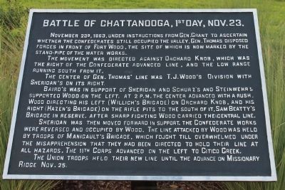
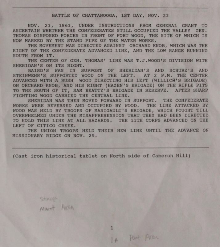
Battle of Chattanooga, 1st Day, Nov. 23
The movement was directed against Orchard Knob, which was the right of the Confederate advanced line, and the low range running south from it.
The center of Gen. Thomas' line was T. J. Wood's Division with Sheridan's on its right.
Baird's was in support of Sheridan and Schurz's and Steinwehr's supported Wood on the left. At 2 P.M. the center advanced with a rush, Wood directing his left (Willich's Brigade) on Orchard Knob, and his right (Hazen's Brigade) on the rifle pits to the south of it, Sam Beatty's Brigade in reserve. After sharp fighting Wood carried the central line.
Sheridan was then moved forward in support. The Confederate works were reversed and occupied by Wood. The line attacked by Wood was held by troops of Manigault's Brigade, which fought till overwhelmed under the misapprehension that they had been directed to hold their line at all hazards. The 11th Corps advanced on the left to Citico Creek.
The Union troops held their new line until the advance on Missionary Ridge Nov. 25.
Erected 1890 by the Chickamauga-Chattanooga National Battlefield Commission. (Marker Number MT-1.)
Topics. This historical marker is listed in this topic list: War, US Civil. A significant historical date for this entry is November 23, 1881.
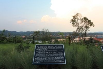
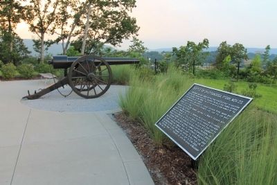
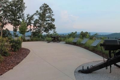
Location. 35° 3.246′ N, 85° 18.99′ W. Marker is in Chattanooga, Tennessee, in Hamilton County. Marker is on Cameron Lane north of Gateway Avenue, on the right when traveling north. This historic marker is located between the northwest side of the downtown business district and the Tennessee River, up on Cameron Hill, overlooking the Tennessee River, in Boynton Park. Touch for map. Marker is in this post office area: Chattanooga TN 37402, United States of America. Touch for directions.
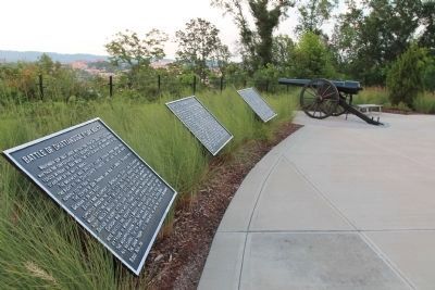
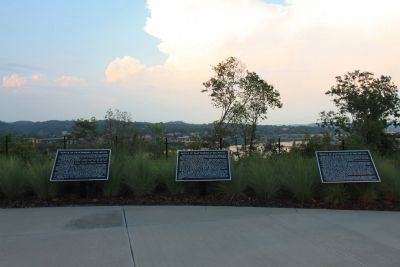
Other nearby markers. At least 8 other markers are within walking distance of this marker. Battle of Chattanooga, 2d Day, Nov. 24. (here, next to this marker); Battle of Chattanooga, 3d Day, Nov. 25. (here, next to this marker); Negley's and Wilder's Demonstrations Against Chattanooga (a few steps from this marker); Boynton Park (a few steps from this marker); Re-Opening the Tennessee River (a few steps from this marker); Cameron Hill (approx. 0.2 miles away); Hazen's Raid at Brown's Ferry (approx. ¼ mile away); "Cherokee" (approx. 0.3 miles away). Touch for a list and map of all markers in Chattanooga.
Related markers. Click here for a list of markers that are related to this marker. This is a list of monuments and tablets found in this database
from the Chattanooga Battlefields in Structure Number order.
Photographed By Dale K. Benington, July 27, 2017
7. Battle of Chattanooga, 1st Day, Nov. 23 Marker
View of page 1 from the National Park Service’s record book on the Chattanooga - Chickamauga ”MT-numbered” listings of classified structures, which is kept in the Chickamauga Battlefield Park's Visitor Center.
Credits. This page was last revised on July 11, 2019. It was originally submitted on September 1, 2012, by Dale K. Benington of Toledo, Ohio. This page has been viewed 973 times since then and 62 times this year. Photos: 1, 2, 3, 4. submitted on September 1, 2012, by Dale K. Benington of Toledo, Ohio. 5, 6. submitted on September 2, 2012, by Dale K. Benington of Toledo, Ohio. 7. submitted on August 29, 2017, by Dale K. Benington of Toledo, Ohio.
