Flagstaff in Coconino County, Arizona — The American Mountains (Southwest)
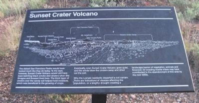
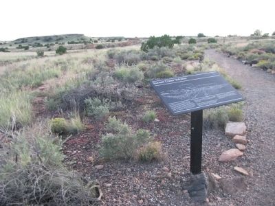
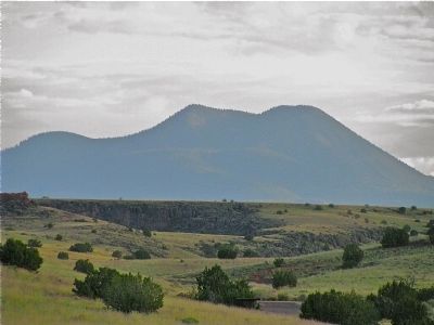
Sunset Crater Volcano
Eventually, even Sunset Crater Volcano grew quiet, and the winds blew the cinders away and dried out the soil.
Why the Lomaki residents departed is not certain. There are indications of disease affecting the population, or a lengthy drought creating a landscape barren of vegetation, animals and firewood. Or invading hostile tribes may have contributed to the abandonment of this area by the mid-1200s.
Topics. This historical marker is listed in these topic lists: Anthropology & Archaeology • Environment • Native Americans.
Location. 35° 34.769′ N, 111° 28.1′ W. Marker is in Flagstaff, Arizona, in Coconino County. Marker is on Loop Road, on the right when traveling north. From Flagstaff, take US 89 north for 12 miles (19km), turn right at sign for Sunset Crater Volcano - Wupatki National Monuments. The Visitor Center is 21 miles (34km) from this junction. Touch for map. Marker is in this post office area: Flagstaff AZ 86001, United States of America. Touch for directions.
Other nearby markers. At least 8 other markers are within walking distance of this marker. Daily Life (within shouting distance of this marker); Ancient Landscapes (about 500 feet away, measured in a direct line); Dry Land Farming (about 600 feet away); Box Canyon Ruins (about 700 feet away); A Legacy of the Past (approx. 0.2 miles away); Nalakihu (approx. 0.9 miles away); Community (approx. 0.9 miles away); Where Were The Fields? (approx. one mile away). Touch for a list and map of all markers in Flagstaff.
Credits. This page was last revised on June 16, 2016. It was originally submitted on October 7, 2012, by Denise Boose of Tehachapi, California. This page has been viewed 748 times since then and 14 times this year. Photos: 1, 2, 3, 4, 5, 6, 7, 8. submitted on October 7, 2012, by Denise Boose of Tehachapi, California. • Syd Whittle was the editor who published this page.
