Flagstaff in Coconino County, Arizona — The American Mountains (Southwest)
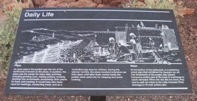
Daily Life
Plaza
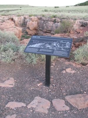
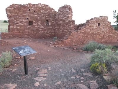
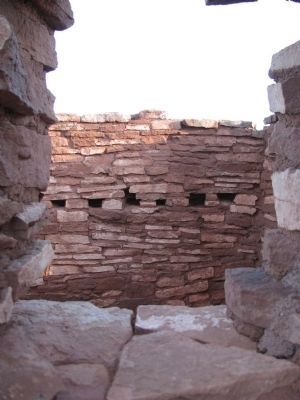
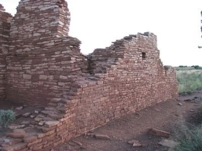
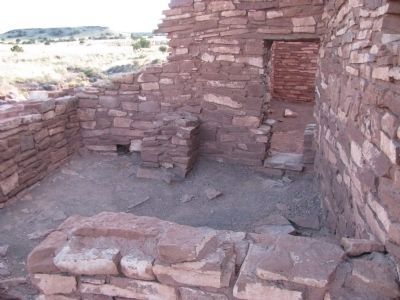
An open area in the pueblo near the rim of the earthcrack is known as the plaza. In pueblos, the plaza was the center for many daily activities including grinding corn, making pottery, working obsidian into arrowheads, processing other plants for food, and cooking. It would have also been used for meetings, conducting trade, and as a controlled play area for children. During the warmer months, the plaza received extensive use from dawn until after dusk; rooms inside the pueblo were used only for sleeping and some cooking.
Water At the bottom of the earthcrack is a prehistoric check dam that contained the frequent run-off. The inhabitants of the pueblo also placed numerous pottery jars at the base of overhangs to catch rainwater. When the rain did not come, they had to walk ten miles to the Little Colorado River drainage to fill their pottery jars.
Erected by National Park Service.
Topics. This historical marker is listed in these topic lists: Anthropology & Archaeology • Environment • Native Americans.
Location. 35° 34.77′ N, 111° 28.08′ W. Marker is in Flagstaff, Arizona, in Coconino County. Marker is on Loop Road, on the right when traveling north. From Flagstaff, take US 89 north for 12 miles (19km), turn right at sign for Sunset Crater Volcano - Wupatki National Monuments. The Visitor Center is 21 miles (34km) from this junction. Touch for map. Marker is in this post office area: Flagstaff AZ 86001, United States of America. Touch for directions.
Other nearby markers. At least 8 other markers are within walking distance of this marker. Sunset Crater Volcano (within shouting distance of this marker); Ancient Landscapes (about 500 feet away, measured in a direct line); Dry Land Farming (about 600 feet away); Box Canyon Ruins (about 800 feet away); A Legacy of the Past (approx. 0.2 miles away); Nalakihu (approx. 0.9 miles away); Community (approx. 0.9 miles away); Where Were The Fields? (approx. one mile away). Touch for a list and map of all markers in Flagstaff.
Credits. This page was last revised on June 16, 2016. It was originally submitted on October 7, 2012, by Denise Boose of Tehachapi, California. This page has been viewed 900 times since then and 58 times this year. Photos: 1, 2, 3, 4, 5, 6, 7, 8. submitted on October 7, 2012, by Denise Boose of Tehachapi, California. • Syd Whittle was the editor who published this page.
