Manassas in Prince William County, Virginia — The American South (Mid-Atlantic)
First Battle of Manassas
Inscription.
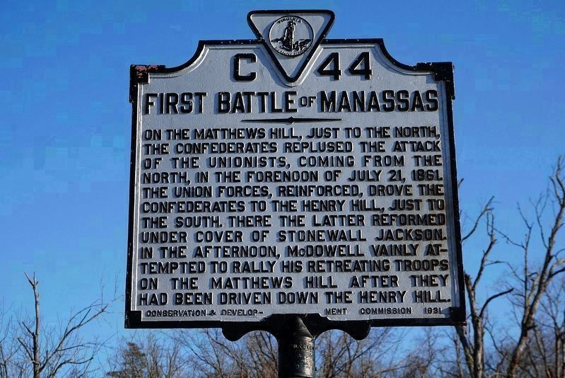
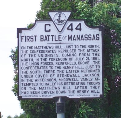
On the Matthews Hill, just to the north, the Confederates repulsed the attack of the Unionists, coming from the north, in the forenoon of July 21, 1861. The Union forces, reinforced, drove the Confederates to the Henry Hill, just to the south. There the latter reformed under cover of Stonewall Jackson. In the afternoon, McDowell vainly attempted to rally his retreating troops on the Matthews Hill after they had been driven down the Henry Hill.
Erected 1931 by Conservation and Development Commission. (Marker Number C-44.)
Topics and series. This historical marker is listed in this topic list: War, US Civil. In addition, it is included in the Virginia Department of Historic Resources (DHR) series list. A significant historical date for this entry is July 21, 1861.
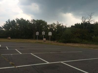
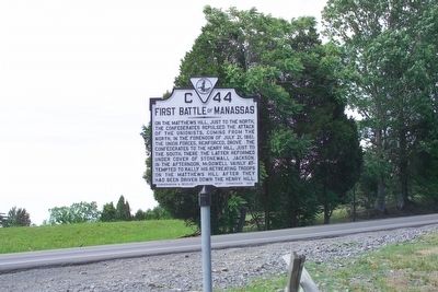
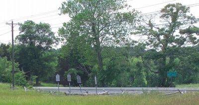
Location. 38° 49.157′ N, 77° 31.487′ W. Marker is in Manassas, Virginia, in Prince William County. Marker is with two other markers on the eastern edge of the Stone House parking lot, near the intersection of Lee Highway (29) and Sudley Rd. (234). Touch for map. Marker is in this post office area: Manassas VA 20109, United States of America. Touch for directions.
Other nearby markers. At least 5 other markers are within walking distance of this marker. A different marker also named First Battle of Manassas (here, next to this marker); Henry House (here, next to this marker); Stone House (within shouting distance of this marker); Stone House: Witness to War (about 300 feet away, measured in a direct line); Battlefield of Bull Run or First Manassas (about 600 feet away). Touch for a list and map of all markers in Manassas.
More about this marker. The marker was previously just east of the Manassas National Battlefield Park’s Stone House parking lot, on the right as you traveled east on US Route 29.
Additional keywords. General Thomas J. Jackson, General Irvin McDowell
Photographed By Craig Swain, August 1, 2007
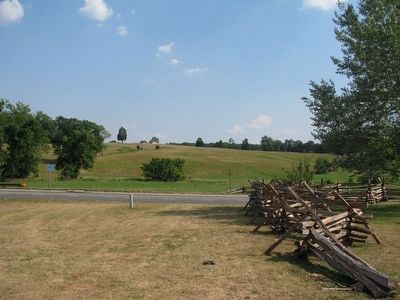
6. Henry House Hill Seen from the Stone House
In the morning phase of the battle, Federals drove the Confederate forces back beyond the Henry House at the crest of Henry House Hill in the distance. In the afternoon, the Federal forces fell back across what is now Highway 29 as retreat turned into rout.
Credits. This page was last revised on January 30, 2019. It was originally submitted on October 10, 2006, by Tom Fuchs of Greenbelt, Maryland. This page has been viewed 1,925 times since then and 25 times this year. Photos: 1. submitted on January 30, 2019, by Linda Walcroft of Woodstock, Virginia. 2. submitted on September 11, 2015, by J. Makali Bruton of Accra, Ghana. 3, 4, 5. submitted on October 10, 2006, by Tom Fuchs of Greenbelt, Maryland. 6. submitted on August 1, 2007, by Craig Swain of Leesburg, Virginia. • J. J. Prats was the editor who published this page.
