Williamsburg, Virginia — The American South (Mid-Atlantic)
George Wythe House and Gardens
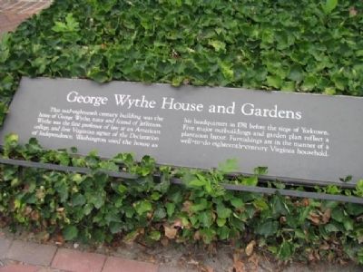
Photographed by Denise Boose, July 8, 2012
1. George Wythe House and Gardens Marker
Topics. This historical marker is listed in this topic list: Colonial Era. A significant historical year for this entry is 1781.
Location. 37° 16.325′ N, 76° 42.14′ W. Marker is in Williamsburg, Virginia. It is on Palance Greet Streen, on the left when traveling north. Touch for map. Marker is in this post office area: Williamsburg VA 23185, United States of America. Touch for directions.

Regionally, this marker is on Virginia’s Peninsula, in Coastal Virginia, and in the Hampton Roads Metropolitan Area. It is also in the American South, specifically in the Upper South, in the Tidewater, and on the Eastern Seaboard. Globally, it is in the North Atlantic Region, North
this page online
Other nearby markers. At least 8 other markers are within walking distance of this marker: Elkanah Deane (within shouting distance of this marker); Virginia Road Wagon (within shouting distance of this marker); African Americans and Bruton Parish Church (within shouting distance of this marker); Site of the First Theatre (about 300 feet away, measured in a direct line); Shop of Kenneth McKenzie (about 300 feet away); Custis Tenament (about 400 feet away); Roscow Cole House (about 400 feet away); Robert Carter House (about 400 feet away). Touch for a list and map of all markers in Williamsburg.
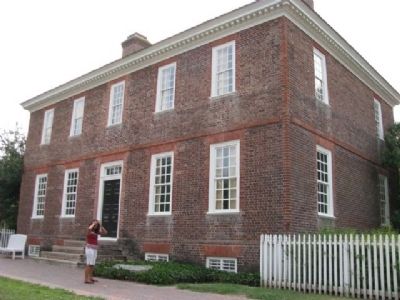
Photographed by Denise Boose, July 8, 2012
2. George Wythe House and Gardens Marker
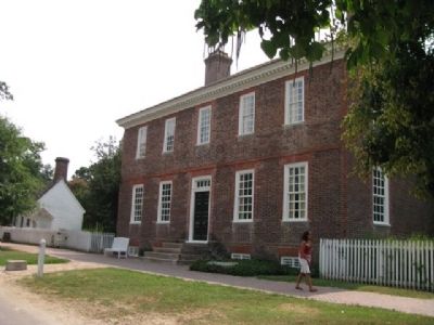
Photographed by Denise Boose, July 8, 2012
3. George Wythe House and Gardens Marker
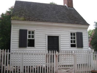
Photographed by Denise Boose, July 8, 2012
4. George Wythe House and Gardens outbuildings
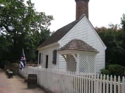
Photographed by Denise Boose, July 8, 2012
5. George Wythe House and Gardens outbuildings
Credits. This page was last revised on July 6, 2018. It was originally submitted on October 12, 2012, by Denise Boose of Tehachapi, California. This page has been viewed 997 times since then and 43 times this year. Photos: 1, 2, 3, 4, 5. submitted on October 12, 2012, by Denise Boose of Tehachapi, California. • Craig Swain was the editor who published this page.
