
Sarasota in Sarasota County, Florida — The American South (South Atlantic)
Indian Beach
Photographed by Tim Fillmon, July 24, 2018
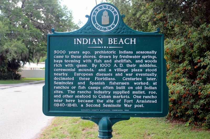
1. Indian Beach Marker-Side 1
5,000 years ago, prehistoric Indians seasonally came to these shore, drawn by freshwater springs, bays teeming with fish and shellfish, and woods rich with game. By 1000 A.D. their middens, ceremonial mounds, and a village plaza stood nearby. European diseases and war eventually decimated these Floridians. Centuries later Seminoles and Spanish fishermen worked at ranchos or fish camps often built on old Indian sites. The rancho industry supplied mullet, roe, and other seafood to Cuban markets. One rancho near here became the site of Fort Armistead (1840-1841), a Second Seminole War post.
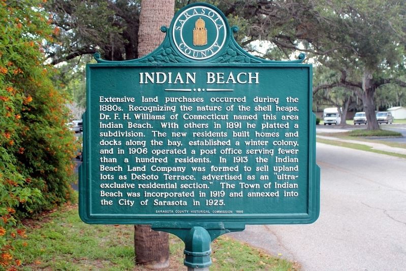
(side 2)
Extensive land purchases occurred during the 1880s. Recognizing the nature of the shell heaps, Dr. F.H. Williams of Connecticut named this area Indian Beach. With others in 1891 he platted a subdivision. The new residents built homes and docks along the bay, established a winter colony, and in 1906 operated a post office serving fewer than a hundred residents. In 1913 the Indian Beach Land Company was formed to sell upland lots as DeSoto Terrace, advertised as an “ultra-exclusive residential section.”
this page online
Erected by Sarasota County Historical Commission.
Topics. This historical marker is listed in these topic lists: Anthropology & Archaeology • Indigenous Peoples and Communities.
Location. 27° 22.035′ N, 82° 33.303′ W. Marker is in Sarasota, Florida, in Sarasota County. It is at the intersection of Bay Shore Road and Myrtle Street, on the left when traveling north on Bay Shore Road. Touch for map. Marker is at or near this postal address: 3701 Bay Shore Road, Sarasota FL 34234, United States of America. Touch for directions.

Regionally, this marker is on Florida’s Gulf Coast. It is also in the American South and on the Gulf Coast. Globally, it is in the North Atlantic Region, North America, a Gulf of Mexico state, the Western Hemisphere, the Western World, and the Anglosphere. Historically, it finds itself in what was once New Spain, the territory of the Mississippian Culture, one of the Confederate States of America, and the Antebellum South.
Other nearby
Photographed by Tim Fillmon, July 24, 2018
2. Indian Beach Marker-Side 2
Another marker is no longer nearby. The Twin Motel and Tourism (was approx. 1.1 miles away but has been confirmed missing).
April 2011
3. Indian Beach Marker
Photographed by Tim Fillmon, July 24, 2018
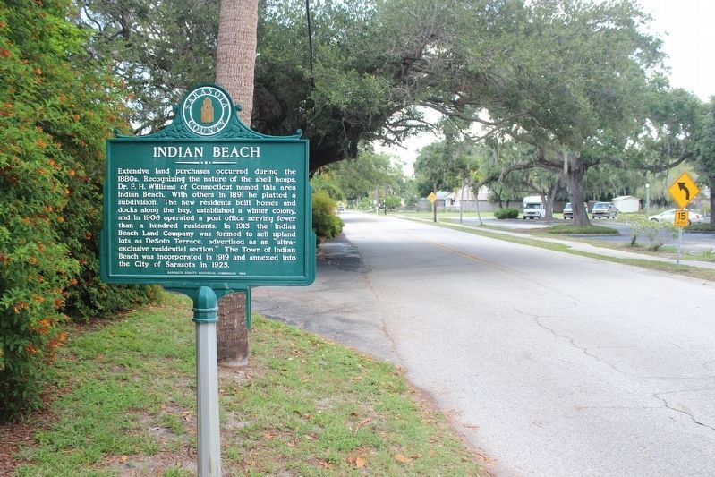
4. Indian Beach Marker and area.
Driveway behind marker leads to Sarasota Jungle Gardens.
Credits. This page was last revised on August 11, 2018. It was originally submitted on October 15, 2012, by Max Feldbaum of San Francisco, California. This page has been viewed 1,439 times since then and 84 times this year. Photos: 1, 2. submitted on July 25, 2018, by Tim Fillmon of Webster, Florida. 3. submitted on October 15, 2012, by Max Feldbaum of San Francisco, California. 4. submitted on July 25, 2018, by Tim Fillmon of Webster, Florida. • Bernard Fisher was the editor who published this page.
