Near Arkansas City in Cowley County, Kansas — The American Midwest (Upper Plains)
The Cherokee Strip

Photographed by Cosmos Mariner, September 9, 2024
1. The Cherokee Strip Marker
the many thousands who pioneered
The Cherokee Strip
September 16, 1893
Thousands gathered in this area to start a
new frontier, six million acres of Cherokee
Indian land was opened to homesteaders.
Tension, danger and hardship were the
order of the day
Arkansas City, Kansas
Topics. This historical marker is listed in these topic lists: Government & Politics • Indigenous Peoples and Communities • Settlements & Settlers. A significant historical month for this entry is September 1882.
Location. 37° 1.631′ N, 97° 2.884′ W. Marker is near Arkansas City, Kansas, in Cowley County. It is at the intersection of 312th Street and U.S. 77, on the left when traveling west on 312th Street. Marker is at a roadside pullout. Touch for map. Marker is in this post office area: Arkansas City KS 67005, United States of America. Touch for directions.

Regionally, this marker is in Eastern Kansas and in Greater Wichita. It is also in the American Midwest, in the Corn Belt, on the prairies, and on the Southern Plains. Globally, it is in North America, the Western Hemisphere, the Western World, and the Anglosphere.
this page online
Other nearby markers. At least 8 other markers are within 3 miles of this marker, measured as the crow flies: Cherokee Outlet (a few steps from this marker); a different marker also named The Cherokee Strip (approx. 2 miles away in Oklahoma); Oklahoma, The Indian State (approx. 2 miles away in Oklahoma); Chilocco Indian School (approx. 2 miles away in Oklahoma); Public Library (approx. 2.4 miles away); Old Arkansas City High School (approx. 2½ miles away); To Honor Heroes (approx. 2½ miles away); Bicentennial Time Capsule (approx. 2½ miles away). Touch for a list and map of all markers in Arkansas City.
Also see . . . Land Run of 1893. Wikipedia entry (Submitted on December 8, 2021, by Larry Gertner of New York, New York.)
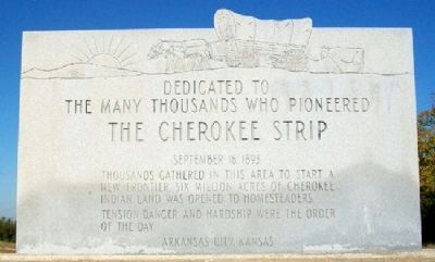
Photographed by William Fischer, Jr., October 24, 2011
2. The Cherokee Strip Marker
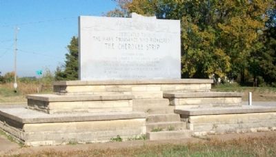
Photographed by William Fischer, Jr., October 24, 2011
3. The Cherokee Strip Marker
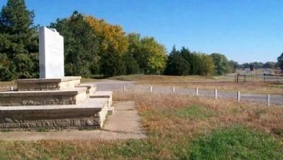
Photographed by William Fischer, Jr., October 24, 2011
4. The Cherokee Strip Marker
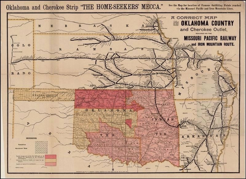
via Rare Maps, unknown
5. A Correct Map of the Oklahoma Country and Cherokee Outlet, Reached via the Missouri Pacific Railway

Photographed by Cosmos Mariner, September 9, 2024
6. The Cherokee Strip Marker
Credits. This page was last revised on October 11, 2024. It was originally submitted on October 22, 2012, by William Fischer, Jr. of Reynoldsburg, Ohio. This page has been viewed 1,028 times since then and 48 times this year. Photos: 1. submitted on October 11, 2024, by Cosmos Mariner of Cape Canaveral, Florida. 2, 3, 4. submitted on October 22, 2012, by William Fischer, Jr. of Reynoldsburg, Ohio. 5. submitted on October 29, 2023, by Larry Gertner of New York, New York. 6. submitted on October 11, 2024, by Cosmos Mariner of Cape Canaveral, Florida.
