Montebello in Nelson County, Virginia — The American South (Mid-Atlantic)
20-Minute Cliff
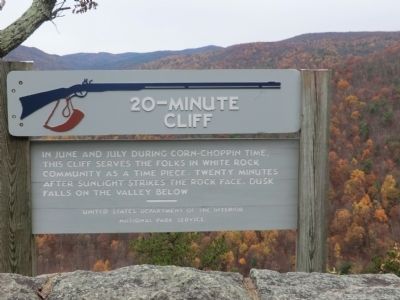
Photographed by Don Morfe, October 28, 2011
1. 20-Minute Cliff Marker
Erected by United States Department of the Interior, National Park Service.
Topics and series. This historical marker is listed in these topic lists: Agriculture • Environment. In addition, it is included in the Blue Ridge Parkway series list.
Location. 37° 53.856′ N, 79° 3.222′ W. Marker is in Montebello, Virginia, in Nelson County. It is on Blue Ridge Parkway 3 miles south of Campbells Mountain Road (Virginia Route 814), on the left when traveling south. Touch for map. Marker is in this post office area: Vesuvius VA 24483, United States of America. Touch for directions.

Regionally, this marker is in the Piedmont and in Central Virginia. It is also in the American South and specifically in the Upper South. Globally, it is in North America, the Western Hemisphere, the Western World, and the Anglosphere. Historically, it finds itself in what was once the
this page online
Other nearby markers. At least 8 other markers are within 9 miles of this marker, measured as the crow flies: Old Mountain Homesite (approx. half a mile away); Big Levels (approx. 6.7 miles away); Stone Fences (approx. 7.7 miles away); Christian Balsley (approx. 7.8 miles away); Old Providence Church (approx. 7.9 miles away); Hurricane Camille (approx. 8 miles away); a different marker also named New Providence Church (approx. 8.3 miles away); Rockbridge County / Augusta County (approx. 8.4 miles away).
Other markers no longer nearby. New Providence Church (was approx. 8.3 miles away but has been replaced with another marker now near it); Virginia Inventors (was approx. 8.4 miles away but has been confirmed missing).
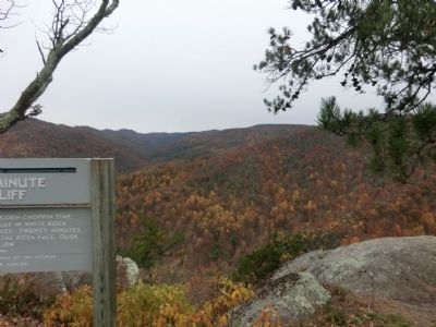
Photographed by Don Morfe, October 28, 2011
2. 20-Minute Cliff Marker
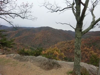
Photographed by Don Morfe, October 28, 2011
3. 20-Minute Cliff Marker
Photographed by Don Morfe, October 28, 2011
4. 20-Minute Cliff Marker
Credits. This page was last revised on June 16, 2016. It was originally submitted on November 24, 2012, by Don Morfe of Baltimore, Maryland. This page has been viewed 906 times since then and 37 times this year. Photos: 1, 2, 3, 4. submitted on November 24, 2012, by Don Morfe of Baltimore, Maryland. • Bernard Fisher was the editor who published this page.
