Near St. Michaels in Talbot County, Maryland — The American Northeast (Mid-Atlantic)
Grave of General Perry Benson (1757-1827)
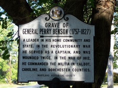
Photographed by Beverly Pfingsten, October 22, 2007
1. Grave of General Perry Benson (1757-1827) Marker
Erected 1965 by Maryland Historical Society.
Topics and series. This historical marker is listed in these topic lists: Cemeteries & Burial Sites • Colonial Era • War of 1812 • War, US Revolutionary. In addition, it is included in the Maryland Historical Trust series list. A significant historical year for this entry is 1812.
Location. 38° 45.122′ N, 76° 10.717′ W. Marker is near St. Michaels, Maryland, in Talbot County. It is on Station Road 0.3 miles south of Maryland Route 33, on the right when traveling north. Touch for map. Marker is in this post office area: Saint Michaels MD 21663, United States of America. Touch for directions.

Regionally, this marker is on the Eastern Shore. It is also in the American Mid-Atlantic, on the Delmarva Peninsula, in the Tidewater, in the Chesapeake Bay Region, and on the Eastern Seaboard. Globally, it is in the North Atlantic Region, North America, the Western
this page online
Other nearby markers. At least 8 other markers are within 4 miles of this marker, measured as the crow flies: St. Michaels (approx. 2.9 miles away); Veterans Memorial (approx. 3.2 miles away); This Cannon (approx. 3.2 miles away); Maritime Legend #21663 (approx. 3.2 miles away); Lewis Tarr House (approx. 3.2 miles away); Rebuilding Rosie Parks (approx. 3.3 miles away); Too Much of a Good Thing (approx. 3.3 miles away); How the Screwpile Lighthouse Got Its Name (approx. 3.3 miles away). Touch for a list and map of all markers in St. Michaels.
Another marker is no longer nearby. The Miles River (was approx. 3.3 miles away but has been permanently removed).
Also see . . . General Perry Benson - Find a Grave. (Submitted on October 29, 2007, by Bill Pfingsten of Bel Air, Maryland.)
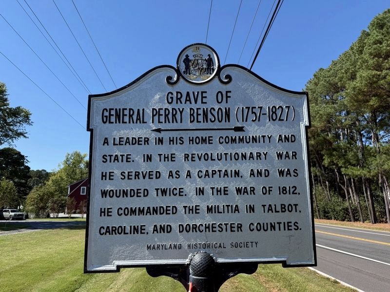
Photographed by Devry Becker Jones (CC0), October 5, 2025
2. Grave of General Perry Benson (1757-1827) Marker
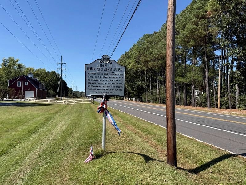
Photographed by Devry Becker Jones (CC0), October 5, 2025
3. Grave of General Perry Benson (1757-1827) Marker
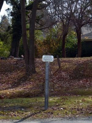
Photographed by Allen C. Browne, November 25, 2012
4. Stump of Grave of General Perry Benson Marker
This Historic Marker was removed by the Maryland Highway Administration under authority of the Maryland Historic Trust --- This Marker has since been refurbished and reinstalled.
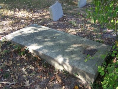
Photographed by Beverly Pfingsten, October 22, 2007
5. Grave of General Perry Benson
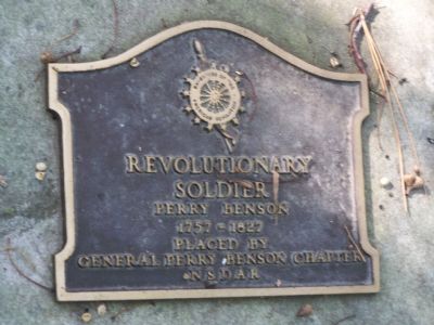
Photographed by Beverly Pfingsten, October 22, 2007
6. DAR markers at grave.
Credits. This page was last revised on October 5, 2025. It was originally submitted on October 27, 2007, by Bill Pfingsten of Bel Air, Maryland. This page has been viewed 2,607 times since then and 78 times this year. Last updated on November 26, 2012, by Allen C. Browne of Silver Spring, Maryland. Photos: 1. submitted on October 27, 2007, by Bill Pfingsten of Bel Air, Maryland. 2, 3. submitted on October 5, 2025, by Devry Becker Jones of Washington, District of Columbia. 4. submitted on November 26, 2012, by Allen C. Browne of Silver Spring, Maryland. 5, 6. submitted on October 27, 2007, by Bill Pfingsten of Bel Air, Maryland.
