Near Fair Haven in Vernon County, Missouri — The American Midwest (Upper Plains)
Archaeology
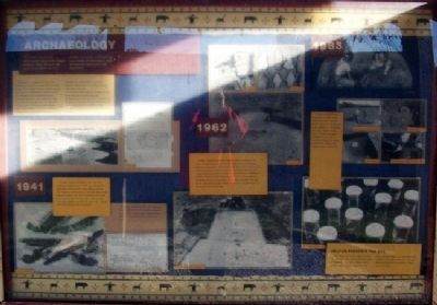
The main source for information about the Osage Indians' daily life is in the ground beneath us. Like pages of a book, archaeology can reveal stories about who the people were and how they lived.
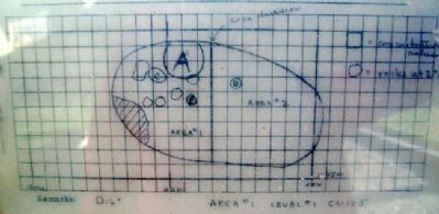
Information is revealed not only by the artifacts but also by its relationship with other things. For example, finding a single projectile point gives archaeologists a certain amount of information. But its presence among projectile points and chert waste in a small area tells archaeologists that the site was a hunting camp. On the other hand, dense debris and evidence of houses indicate a village. Past soil disturbance can be detected and reveal where post holes, hearths, roasting pits, and storage pits had been dug in the past.
As archaeologists dig, they destroy the part of the site they are excavating. But archaeologists record as much information as possible as they dig and keep careful records of what they have found. Without these records, the stories of the past would be lost forever.
1941
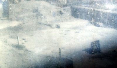
This site, known as the Brown site, was first visited by archaeologists in 1941. W.L. Brown, the landowner, had collected many artifacts from the site. Realizing the importance of the site, Brown had stopped plowing it. Dr. Carl H. Chapman and other staff members from the University of Missouri at Columbia started excavating the site in 1941. World War II interrupted those excavations.
1962
In 1962, Chapman mounted a large-scale excavation of the known Osage sites in this part of the state. About 9,000 square feet were excavated. In the center of this site, some pits and post holes were found where a house apparently had been located. A large excavation near the western edge of the site revealed pits, hearths, and post holes indicating two houses. One house was 42 feet by 19 feet and the other was 45 feet by 22 feet. They had two or three center posts, multiple hearths, and numerous pits in the house floor for storage.
1983
A small excavation was completed in 1983. These excavations were done to obtain evidence of bones and floral material for comparison with other historic Indian sites. This last excavation revealed a great deal of information about the plants and animals used by the Osage Indians in Missouri.
Help Us Preserve The Site
This village is a nonrenewable source. The artifacts on this site are like the pages of a book that tell a story. Removing an artifact is like tearing a page from that book, making it difficult to read. Removing artifacts is also against the law. This site was purchased for preservation. Please help us do that.
Erected by Missouri State Parks.
Topics. This historical marker is listed in these topic lists: Anthropology & Archaeology • Education • Native Americans. A significant historical year for this entry is 1941.
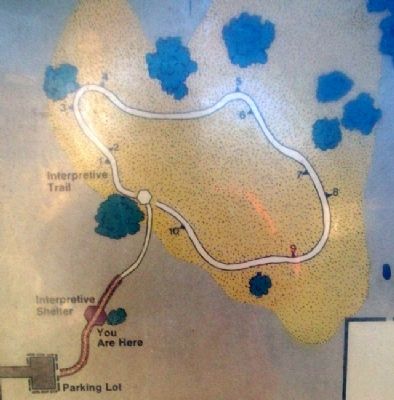
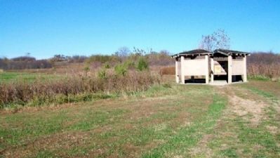
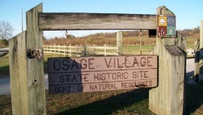
Location. 37° 58.879′ N, 94° 12.541′ W. Marker is near Fair Haven, Missouri, in Vernon County. Marker is in the kiosk located about 300 feet northeast of the parking lot at Osage Village State Historic Site, off Road C, about 2 miles west of Fair Haven. Touch for map. Marker is in this post office area: Harwood MO 64750, United States of America. Touch for directions.
Other nearby markers. At least 8 other markers are within 12 miles of this marker, measured as the crow flies. Changing Life Styles (here, next to this marker); The Osage Indians (here, next to this marker); The Osage and the Fur Trade (here, next to this marker); Encounter With Europeans: The Change Begins (here, next to this marker); Osage Sites in the Area (about 600 feet away, measured in a direct line); Harmony Mission (approx. 11.2 miles away); The Town That Coal Built (approx. 11˝ miles away); Veterans Memorial (approx. 12 miles away). Touch for a list and map of all markers in Fair Haven.
Also see . . .
1. Osage Village State Historic Site, Missouri. Missouri State Parks website entry (Submitted on November 26, 2012, by William Fischer, Jr. of Scranton, Pennsylvania.)
2. The Osage Nation. Website homepage (Submitted on November 26, 2012, by William Fischer, Jr. of Scranton, Pennsylvania.)
Credits. This page was last revised on May 21, 2022. It was originally submitted on November 26, 2012, by William Fischer, Jr. of Scranton, Pennsylvania. This page has been viewed 521 times since then and 11 times this year. Photos: 1, 2, 3, 4. submitted on November 26, 2012, by William Fischer, Jr. of Scranton, Pennsylvania. 5. submitted on November 25, 2012, by William Fischer, Jr. of Scranton, Pennsylvania. 6. submitted on March 16, 2011, by William Fischer, Jr. of Scranton, Pennsylvania.
