
Yorktown in York County, Virginia — The American South (Mid-Atlantic)
A Changed Scene
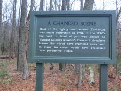
Photographed by Don Morfe, December 9, 2011
1. A Changed Scene Marker
Erected by National Park Service.
Topics. This historical marker is listed in this topic list: Colonial Era. A significant historical year for this entry is 1781.
Location. 37° 12.966′ N, 76° 31.644′ W. Marker is in Yorktown, Virginia, in York County. It is on Allied Encampment Road 0.1 miles north of Battlefield Tour Road, on the right when traveling north. Marker is located in the French Encampment Area of the Yorktown Battlefield. Touch for map. Marker is in this post office area: Yorktown VA 23690, United States of America. Touch for directions.

Regionally, this marker is on Virginia’s Peninsula, in Coastal Virginia, and in the Hampton Roads Metropolitan Area. It is also in the American South, specifically in the Upper South, in the Tidewater, and on the Eastern Seaboard. Globally, it is in the North Atlantic Region, North
this page online
Other nearby markers. At least 8 other markers are within walking distance of this marker: Baron De Viomenil (approx. 0.2 miles away); D’Aboville’s Headquarters (approx. 0.3 miles away); French Artillery Park (approx. 0.6 miles away); French Artillery Park (approx. 0.6 miles away); French Cemetery (approx. 0.7 miles away); Bourbonnois Brigade Encampment (approx. 0.8 miles away); The Adjutant General (approx. 0.8 miles away); Outer Works (approx. 0.8 miles away). Touch for a list and map of all markers in Yorktown.
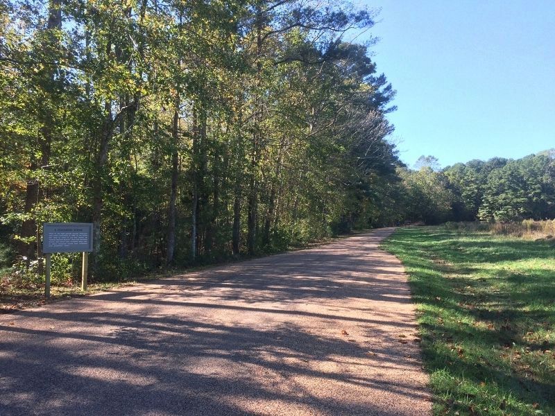
Photographed by J. Makali Bruton, October 23, 2016
2. A Changed Scene Marker
Credits. This page was last revised on October 24, 2016. It was originally submitted on December 5, 2012, by Don Morfe of Baltimore, Maryland. This page has been viewed 900 times since then and 19 times this year. Photos: 1. submitted on December 5, 2012, by Don Morfe of Baltimore, Maryland. 2. submitted on October 24, 2016, by J. Makali Bruton of Washington, District of Columbia. • Bernard Fisher was the editor who published this page.
