LaGrange in Oldham County, Kentucky — The American South (East South Central)
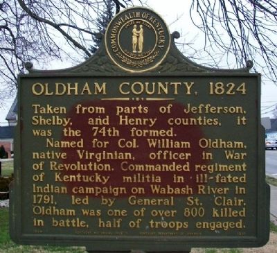
Oldham County, 1824
Taken from parts of Jefferson, Shelby, and Henry counties, it was the 74th formed.
Named for Col. William Oldham, native Virginian, officer in War of Revolution. Commanded regiment of Kentucky militia in ill-fated Indian campaign on Wabash River in 1791, led by General St. Clair. Oldham was one of over 800 killed in battle, half of troops engaged.
Erected 1969 by Kentucky Historical Society and Kentucky Department of Highways. (Marker Number 1251.)
Topics and series. This historical marker is listed in these topic lists: Native Americans • Patriots & Patriotism • Settlements & Settlers • Wars, US Indian. In addition, it is included in the Kentucky Historical Society series list. A significant historical year for this entry is 1791.
Location. 38° 24.516′ N, 85° 22.79′ W. Marker is in LaGrange, Kentucky, in Oldham County. Marker is on Jefferson Street (Kentucky Route 146) west of 1st Avenue (Kentucky Route 53), on the right when traveling west. Touch for map. Marker is at or near this postal address: 100 West Jefferson Street, La Grange KY 40031, United States of America. Touch for directions.
Other nearby markers. At least 8 other markers are within walking distance of this marker. Funk Seminary Site (within shouting distance of this marker); William Berry Taylor of Spring Hill (within shouting distance of this marker); Oldham County History Center (about 300 feet away, measured in a direct line); James and Amanda Mount Home / J.C. Barnett Library and Archives (about 300 feet away); a different marker also named Oldham County History Center (about 300 feet away); Colonel William Oldham (about 400 feet away); Veterans Memorial (about 400 feet away); a different marker also named Oldham County History Center (about 400 feet away). Touch for a list and map of all markers in LaGrange.
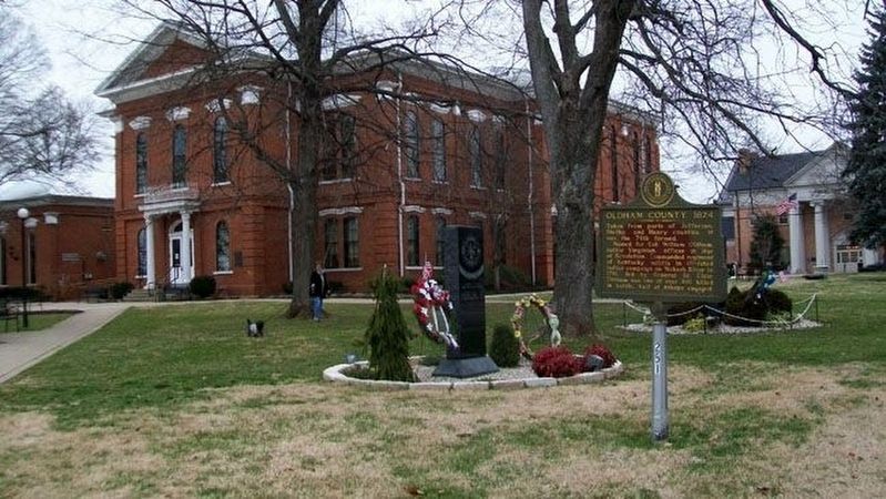
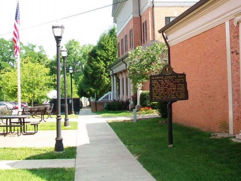
More about this marker. Marker was relocated from the county courthouse grounds between 2012 and 2016.
Also see . . . Oldham County, Kentucky. Wikipedia entry (Submitted on July 13, 2023, by Larry Gertner of New York, New York.)
Credits. This page was last revised on July 13, 2023. It was originally submitted on December 15, 2012, by William Fischer, Jr. of Scranton, Pennsylvania. This page has been viewed 527 times since then and 25 times this year. Photos: 1, 2. submitted on December 15, 2012, by William Fischer, Jr. of Scranton, Pennsylvania. 3. submitted on July 23, 2016, by William Fischer, Jr. of Scranton, Pennsylvania.


