
Near Grand Junction in Mesa County, Colorado — The American Mountains (Southwest)
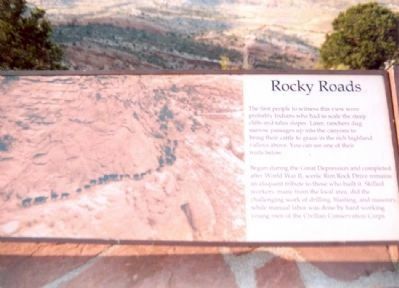
Rocky Roads
Colorado National Monument
Photographed by Don Morfe, July 21, 2005
1. Rocky Roads Marker
Begun during the Great Depression and completed after World War II, scenic Rim Rock Drive remains an eloquent tribute to those who build it. Skilled workers, many from the local area, did the challenging work of drilling, blasting, and masonry while manual labor was done by hard working young men of the Civilian Conservation Corps.
Topics and series. This historical marker is listed in these topic lists: Indigenous Peoples and Communities • Roads & Vehicles. In addition, it is included in the Civilian Conservation Corps (CCC) series list.
Location. 39° 2.106′ N, 108° 37.824′ W. Marker is near Grand Junction, Colorado, in Mesa County. It can be reached from Rim Rock Drive. This marker is near the East Entrance of the Colorado National Monument. Touch for map. Marker is in this post office area: Grand Junction CO 81507, United States of
this page online

Regionally, this marker is in the Western Slope. It is also in the American Mountain West and in Colorado Plateau. Globally, it is in North America, the Rocky Mountains, the Western Hemisphere, the Western World, and the Anglosphere. Historically, it finds itself in what was once Mexico’s Alta California.
Other nearby markers. At least 8 other markers are within 5 miles of this marker, measured as the crow flies: Welcome to the Historic Devil's Kitchen Picnic Shelter (approx. ¼ mile away); Upper Serpents Trail (approx. 0.8 miles away); Canyon In A Canyon (approx. 3 miles away); Grand Junction Elks Lodge #575 (approx. 4 miles away); St. Regis Hotel (approx. 4.1 miles away); Whitman School (approx. 4.1 miles away); Sampliner’s Dry Goods (approx. 4.1 miles away); Mesa Drug/City Market (approx. 4.1 miles away). Touch for a list and map of all markers in Grand Junction.
Photographed by Don Morfe, January 16, 2007
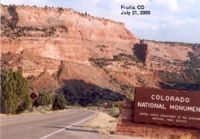
2. Entering the Rocky Roads National Monument
Photographed by Don Morfe, June 3, 2009
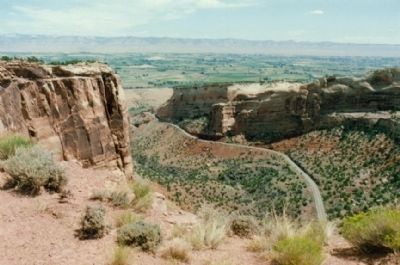
3. View of the Road
Photographed by Don Morfe, June 3, 2009
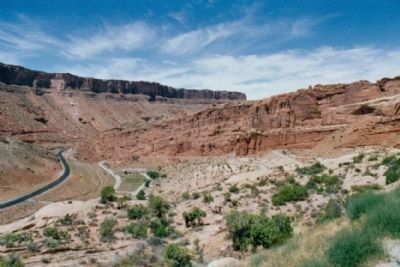
4. View of the Road and Canyon
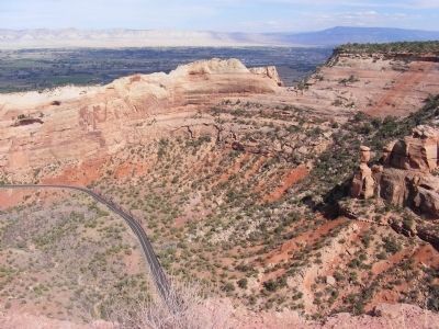
Photographed by Don Morfe, September 13, 2007
5. View of the Road and Canyon
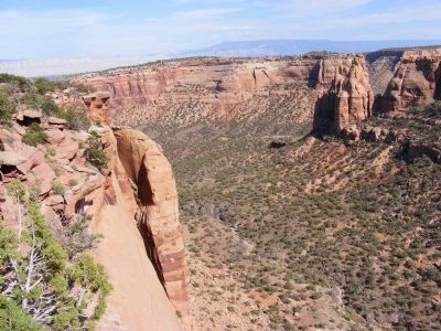
Photographed by Don Morfe, September 13, 2007
6. View of the Canyon
Credits. This page was last revised on April 29, 2018. It was originally submitted on December 16, 2012, by Don Morfe of Baltimore, Maryland. This page has been viewed 1,185 times since then and 19 times this year. Photos: 1, 2, 3, 4, 5, 6. submitted on December 16, 2012, by Don Morfe of Baltimore, Maryland. • Syd Whittle was the editor who published this page.
Editor’s want-list for this marker. Wide area view of the marker and its surroundings. • Can you help?
