Marker Logo
THE HISTORICAL
MARKER DATABASE
“Bite-Size Bits of Local, National, and Global History”
Interior in Pennington County, South Dakota — The American Midwest (Upper Plains)
 

Journey to Wounded Knee

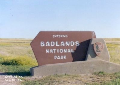
Badlands National Park
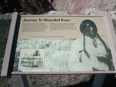
 
 
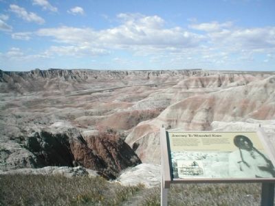
Journey to Wounded Knee Marker image. Click for full size.
Photographed by Don Morfe, September 24, 2006
1. Journey to Wounded Knee Marker
Badlands National Park
Inscription. Journey to Wounded Knee-December 24, 1890 a bitter Christmas Eve wind rattled the wagon in which Minneconjou Chief Big Foot lay waiting while his people cleared a pass down the Badlands Wall. Several hours of hard work with axes and spades made the disused trail passable. The band of 350 men, women, and children continued their flight from units of the United States Army.

Big Foot was ill, close to death, and disillusioned by the broken promises of Whites and by the lack of unity among Indians. His agony would last only five days. On December 29th, he, nearly 200 of his people, and 30 soldiers would die in the massacre at Wounded Knee, 65 miles to the south.
 
Erected by National Park Service.
 
Topics. This historical marker is listed in these topic lists: Indigenous Peoples and CommunitiesWars, US Indian. A significant historical month for this entry is December 1789.
 
Location. 43° 47.88′ N, 102° 7.326′ W. Marker is in Interior, South Dakota, in Pennington County. It is on State Highway 240. Touch for map. Marker is in this post office area: Wall SD 57790, United States of America. Touch for directions.

Regionally, this

Paid Advertisement
Click or scan to see
this page online
marker is in South Dakota’s West River, in the Badlands, and in Greater Rapid City. It is also in the American Lewis & Clark Corridor, on the prairies, and on the Northern Plains. Globally, it is in North America, the Western Hemisphere, the Western World, and the Anglosphere. Historically, it finds itself in what was once Rupert’s Land and also the Louisiana Purchase.

Other nearby markers. At least 8 other markers are within 7 miles of this marker, measured as the crow flies: The Geography of Hope (approx. 1.7 miles away); Homesteads and Ranches (approx. 3.1 miles away); Jungle on a Seabed (approx. 4.8 miles away); Reading the Rocks (approx. 6.1 miles away); It's a Dog's Life (approx. 6.1 miles away); Fight for Survival (approx. 6.2 miles away); Dying to Become a Fossil (approx. 6.2 miles away); Off to the Races (approx. 6.2 miles away). Touch for a list and map of all markers in Interior.
 
Regarding Journey to Wounded Knee. Badlands National Park
Good Times at the Badlands
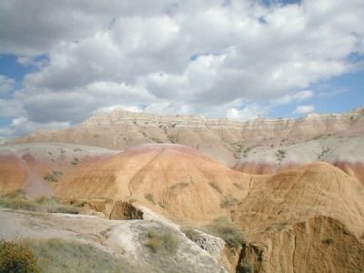
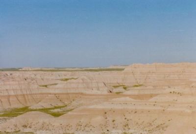
People are drawn to the rugged beauty of the Badlands. These striking geologic deposits contain one of the world’s richest fossil beds.
Journey to Wounded Knee Marker image. Click for full size.
Photographed by Don Morfe, September 24, 2006
2. Journey to Wounded Knee Marker
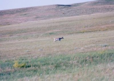
Ancient mammals such as the rhino, horse, and saber-toothed cat once roamed here. The park’s 244,000 acres protect an expanse of mixed-grass prairie where bison, bighorn sheep, prairie dogs, and black-footed ferrets live today.
National Park Service
 
Journey to Wounded Knee Marker image. Click for full size.
Photographed by Don Morfe, September 24, 2006
3. Journey to Wounded Knee Marker
Journey to Wounded Knee Marker image. Click for full size.
Photographed by Don Morfe, June 28, 1994
4. Journey to Wounded Knee Marker
Journey to Wounded Knee Marker image. Click for full size.
Photographed by Don Morfe, June 28, 1994
5. Journey to Wounded Knee Marker
Journey to Wounded Knee Marker image. Click for full size.
Photographed by Don Morfe, June 28, 1994
6. Journey to Wounded Knee Marker
Journey to Wounded Knee Marker image. Click for full size.
Photographed by Don Morfe, September 24, 2006
7. Journey to Wounded Knee Marker
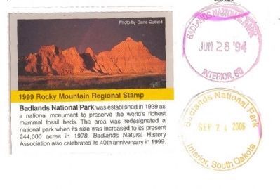
National Park Passport Cancellation Stamp.
 
 
Credits. This page was last revised on June 16, 2016. It was originally submitted on December 24, 2012, by Don Morfe of Baltimore, Maryland. This page has been viewed 1,788 times since then and 33 times this year. Photos:   1, 2, 3, 4, 5, 6, 7. submitted on December 24, 2012, by Don Morfe of Baltimore, Maryland. • Bill Pfingsten was the editor who published this page.

m=62104

CeraNet Cloud Computing sponsors the Historical Marker Database.
This website earns income from purchases you make after using our links to Amazon.com. We appreciate your support.
Paid Advertisement
Aug. 11, 2026