Avoca in Benton County, Arkansas — The American South (West South Central)
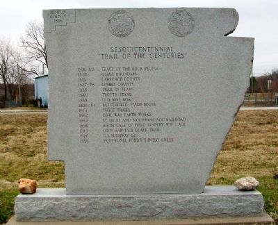
Sesquicentennial Trail of the Centuries
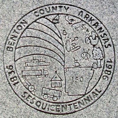
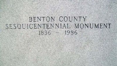
Benton County Arkansas Sesquicentennial Monument 1836 - 1986
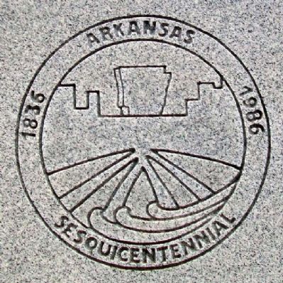
Arkansas Sesquicentennial 1836 - 1986
Inscription.
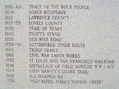
1808 Osage Boundary
1815 Lawrence County
1827-28 Lovely County
1838 Trail of Tears
1840 Trott's Stand
1858 Old Wire Road
1858-61 Butterfield Stage Route
1861 Troop Trails
1862 Civil War Earth Works
1882 St. Louis and San Francisco Railroad
1896 Birthplace of Field Kindley, WWI Ace
1913 Coin Harvey's Ozark Trail
1926 U.S. Highway 62
1956 Poet Edsel Ford's "Sunday Creek"
Erected by Benton County.
Topics. This historical marker is listed in these topic lists: Native Americans • Roads & Vehicles • Settlements & Settlers • War, US Civil. A significant historical year for this entry is 1808.
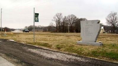
Location. 36° 24.088′ N, 94° 4.352′ W. Marker is in Avoca, Arkansas, in Benton County. Marker is on Hudson Road (U.S. 62) south of Rose Street, on the right when traveling north. Touch for map. Marker is in this post office area: Avoca AR 72711, United States of America. Touch for directions.
Other nearby markers. At least 8 other markers are within 4 miles of this marker, measured as the crow flies. Dunagin's Farm (approx. one mile away); Where I Knew I Might Make the Best Fight (approx. 1.6 miles away); F-101B Voodoo (approx. 2.7 miles away); All Vietnam Veterans Memorial (approx. 2.7 miles away); Leetown (approx. 3 miles away); A Village Full of Wounded Men (approx. 3 miles away); A Fierce Tangle in Morgan's Woods (approx. 3.2 miles away); Stand to Your Posts! (approx. 3.2 miles away).
Credits. This page was last revised on June 16, 2016. It was originally submitted on January 9, 2013, by William Fischer, Jr. of Scranton, Pennsylvania. This page has been viewed 896 times since then and 25 times this year. Photos: 1, 2, 3, 4, 5, 6. submitted on January 9, 2013, by William Fischer, Jr. of Scranton, Pennsylvania.
