
Near Cave Junction in Josephine County, Oregon — The American West (Northwest)
Oregon Caves National Monument
Photographed by Don Morfe, June 30, 2009
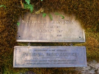
1. Oregon Caves National Monument Marker
Upper plaque:
Set aside by
President Taft
July 12, 1909
Lower plaque:
National Park Service
Regulations require that all persons entering
caves be accompanied by an authorized guide.
Erected by National Park Service.
Topics and series. This historical marker and monument is listed in these topic lists: Environment • Natural Features • Settlements & Settlers. In addition, it is included in the Former U.S. Presidents: #27 William Howard Taft series list. A significant historical month for this entry is July 1979.
Location. 42° 5.892′ N, 123° 24.45′ W. Marker is near Cave Junction, Oregon, in Josephine County. It is on Caves Highway (Oregon Route 46). Marker is located on the road between the Chateau and the Visitor Center. Touch for map. Marker is in this post office area: Cave Junction OR 97523, United States of America. Touch for directions.

Regionally, this marker and monument is in Southern Oregon. It is also on the American Pacific Coast, in the Pacific Northwest, and in the Lewis & Clark Corridor. Globally, it is in North America, on the Ring of
this page online
Other nearby markers. At least one other marker is within 11 miles of this marker, measured as the crow flies: Fort Briggs (approx. 10.7 miles away).
Photographed by Don Morfe, June 30, 2009
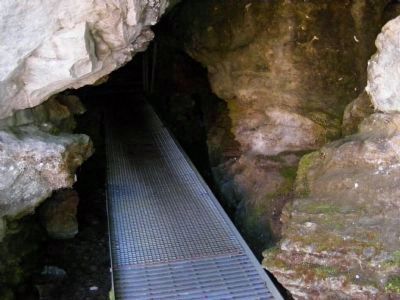
2. Cave Entrance
This cave is located near the marker.
Photographed by Don Morfe, June 30, 2009
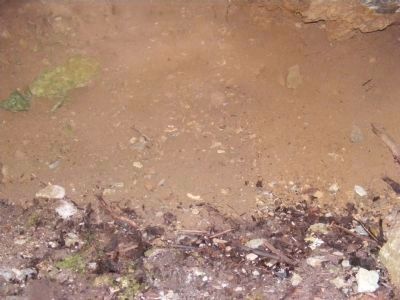
3. Cave Interior
Photographed by Don Morfe, June 30, 2009
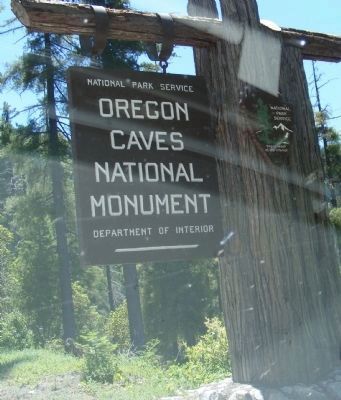
4. Entrance Sign
Located on the road near the Visitor Center.
Photographed by Don Morfe, June 30, 2009
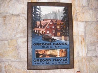
5. Sign at the Chateau
Photographed by Don Morfe, June 30, 2009
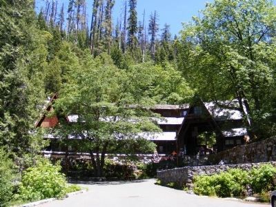
6. Oregon Caves Chateau
Built in 1934
Photographed by Don Morfe, June 30, 2009
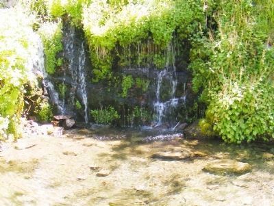
7. Waterfall Near the Chateau
Photographed by Don Morfe, June 30, 2009
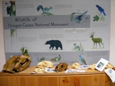
8. Display at the Visitor's Center
Credits. This page was last revised on June 16, 2016. It was originally submitted on February 9, 2013, by Don Morfe of Baltimore, Maryland. This page has been viewed 705 times since then and 41 times this year. Photos: 1, 2, 3, 4, 5, 6, 7, 8. submitted on February 9, 2013, by Don Morfe of Baltimore, Maryland. • Syd Whittle was the editor who published this page.
Editor’s want-list for this marker. Wide area view of the marker and its surroundings. • Can you help?
