Tulelake in Siskiyou County, California — The American West (Pacific Coastal)
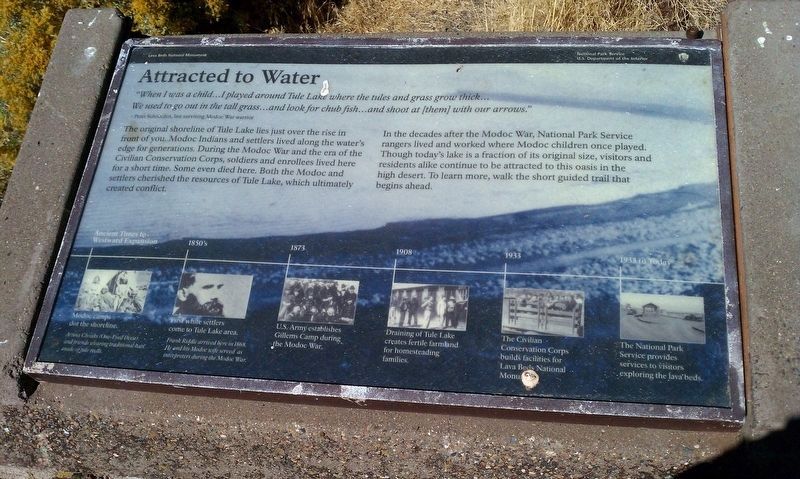
Attracted to Water
Lava Beds National Monument
— National Park Service, U.S. Department of the Interior —
“When I was a child…I played around Tule Lake where the tules and grass grow thick… We used to go out in the tall grass… and look for chub fish… and shoot at (them) with our arrows.”
Peter Schonchin, last surviving Modoc War warrior.
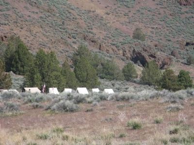
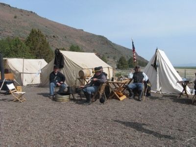
The original shoreline of Tule Lake lies just over the rise in front of you. Modoc Indians and settlers lived along the water’s edge for generations. During the Modoc War and the era of the Civilian Conservation Corps, soldiers and enrollees lived here for a short time. Some even died here. Both the Modoc and settlers cherished the resources of Tule Lake, which ultimately created conflict.
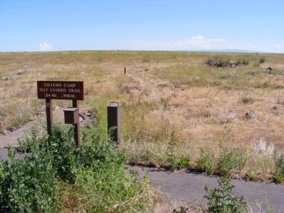
In the decades after the Modoc War, National Park Service rangers lived and worked where Modoc children once played. Though today’s lake is a fraction of its original size, visitors and residents alike continue to be attracted to this oasis in the high desert. To learn more, walk the short guided trail that begins ahead.
(Time Line Displayed at the bottom of the marker:)
Ancient Times to Westward Expansion:
Modoc camps dot the shoreline.
1850:
First white settlers come to Tule Lake area
1873
U.S. Army establishes Gillems Camp during the Modoc War
1908:
Draining of Tule Lake creates fertile farmland for homesteading families.
1933:
The Civilian Conservation Corps builds facilities for Lava Beds National Monument.
1933 to Today:
The National Park Service provides services to visitors exploring the lava beds.
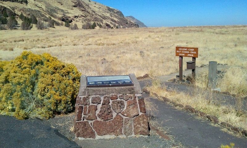
Erected by National Park Service, U.S. Department of the Interior.
Topics and series. This historical marker is listed in these topic lists: Military • Native Americans • Wars, US Indian. In addition, it is included in the Civilian Conservation Corps (CCC) series list. A significant historical year for this entry is 1850.
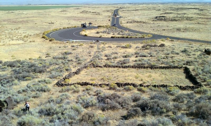
Location. 41° 49.458′ N, 121° 33.324′ W. Marker is in Tulelake, California, in Siskiyou County. Marker can be reached from Hill Road, on the left when traveling south. Marker is located within the boundaries of Lava Beds National Monument at the site of Gillems Camp. Touch for map. Marker is in this post office area: Tulelake CA 96134, United States of America. Touch for directions.
Other nearby markers. At least 8 other markers are within 3 miles of this marker, measured as the crow flies. War in the Lava Beds (within shouting distance of this marker); Modoc War Casualties (about 400 feet away, measured in a direct line); Canby Cross (approx. ¾ mile away); Last Meeting of the Peace Commission (approx. ¾ mile away); Civilian Conservation Corps (approx. 2.2 miles away); The Road to the Stronghold (approx. 2.8 miles away); Lava Fortress (approx. 2.8 miles away); Shore of Tule Lake (approx. 2.8 miles away). Touch for a list and map of all markers in Tulelake.
Also see . . . Attracted to Water Marker Photos. waymarking.com post showing photos of both a full view of the marker and a wide area view. (Submitted on March 7, 2013.)
Credits. This page was last revised on October 4, 2019. It was originally submitted on February 11, 2013, by Don Morfe of Baltimore, Maryland. This page has been viewed 600 times since then and 23 times this year. Photos: 1, 2. submitted on January 27, 2018, by Douglass Halvorsen of Klamath Falls, Oregon. 3. submitted on February 11, 2013, by Don Morfe of Baltimore, Maryland. 4. submitted on January 27, 2018, by Douglass Halvorsen of Klamath Falls, Oregon. 5, 6. submitted on March 7, 2013. • Syd Whittle was the editor who published this page.
Editor’s want-list for this marker. • • Can you help?
