
Near Stringtown in Atoka County, Oklahoma — The American South (West South Central)
Stringtown Shootout
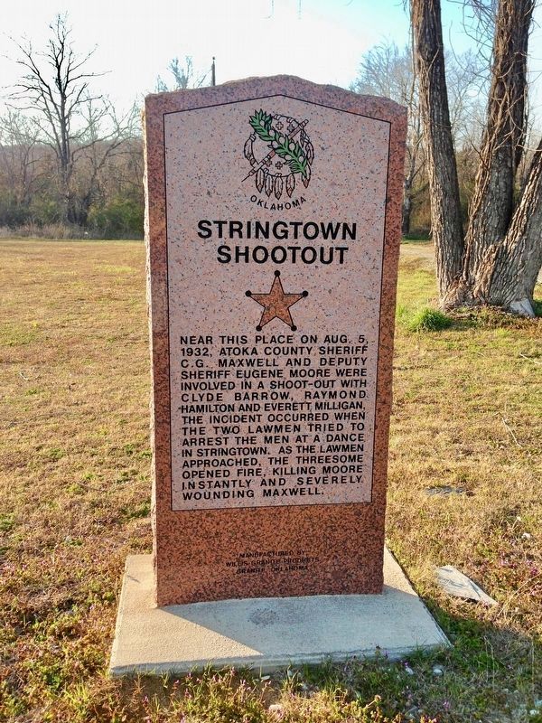
Photographed by Michael Manning, March 27, 2013
1. Stringtown Shootout Marker
Erected 2007 by Oklahoma Historical Society.
Topics and series. This historical marker is listed in these topic lists: Law Enforcement • Notable Events. In addition, it is included in the Oklahoma Historical Society series list. A significant historical date for this entry is August 5, 1932.
Location. 34° 27.742′ N, 96° 3.725′ W. Marker is near Stringtown, Oklahoma, in Atoka County. It is on North Mississippi Avenue (U.S. 69) south of Ash Street, on the right when traveling south. Touch for map. Marker is in this post office area: Atoka OK 74525, United States of America. Touch for directions.

Regionally, this marker is in Oklahoma’s Choctaw Nation. It is also in the American South, specifically on the prairies, and on the Southern
this page online
Other nearby markers. At least 8 other markers are within 7 miles of this marker, measured as the crow flies: Site Inundated Geary's Station (approx. 1.6 miles away); Historic Butterfield Trail in Indian Territory (approx. 5.4 miles away); Middle Boggy Battle (approx. 5.4 miles away); Cornerstone from [Atoka] County Courthouse (approx. 6½ miles away); War Memorial (approx. 6½ miles away); 45th Infantry Division Memorial Highway (approx. 6½ miles away); Vietnam War Memorial (approx. 6½ miles away); Captain Atoka (approx. 6½ miles away).
Photographed by Michael Manning, March 27, 2013
2. Stringtown Shootout Marker
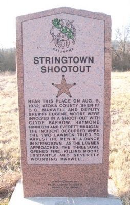
Photographed by William Fischer, Jr., March 9, 2014
3. Stringtown Shootout Marker
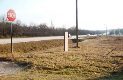
Photographed by William Fischer, Jr., March 9, 2014
4. Stringtown Shootout Marker
Credits. This page was last revised on December 30, 2024. It was originally submitted on April 1, 2013, by Michael Manning of Woodlawn, Tennessee. This page has been viewed 2,832 times since then and 213 times this year. Photos: 1. submitted on April 5, 2019. 2. submitted on April 1, 2013, by Michael Manning of Woodlawn, Tennessee. 3, 4. submitted on May 4, 2014, by William Fischer, Jr. of Reynoldsburg, Ohio. • Bernard Fisher was the editor who published this page.
