Great Falls in Fairfax County, Virginia — The American South (Mid-Atlantic)
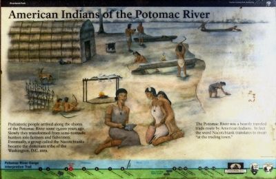
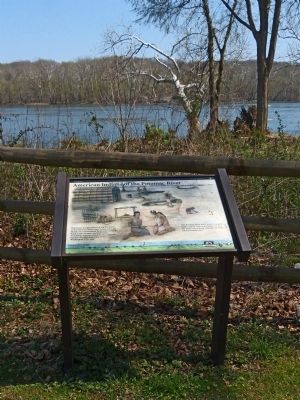
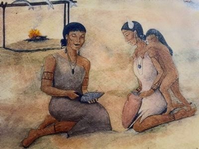
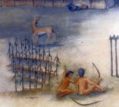
American Indians of the Potomac River
Riverbend Park
| — | Potomac River Gorge Interpretive Trail | — |
Photographed by Allen C. Browne, April 10, 2013
1. American Indians of the Potomac River Marker
The Potomac River was a heavily traveled trade route by American Indians. In fact the word Nacotchtank translates to mean “at the trading town.”
Erected by Fairfax County Park Authority.
Topics. This historical marker is listed in these topic lists: Anthropology & Archaeology • Indigenous Peoples and Communities.
Location. 39° 1.073′ N, 77° 14.734′ W. Marker is in Great Falls, Virginia, in Fairfax County. It can be reached from Potomac Hills Street 0.6 miles east of Jeffery Road. Marker is along the Potomac Heritage Trail in Riverbend Park. Touch for map. Marker is at or near this postal address: 8700 Potomac Hills Street, Great Falls VA 22066, United States of America. Touch for directions.

Regionally, this marker is in the Washington Metropolitan Area and in Northern Virginia. It is also in
this page online
Other nearby markers. At least 8 other markers are within 2 miles of this marker, measured as the crow flies: River Crossing at Conn's Ferry (within shouting distance of this marker); Potomac Connections (within shouting distance of this marker); Welcome to Great Falls (approx. 1.2 miles away in Maryland); Washington Aqueduct (approx. 1.2 miles away in Maryland); Great Falls Tavern (approx. 1.2 miles away in Maryland); a different marker also named Great Falls Tavern (approx. 1.2 miles away in Maryland); Creating a National Park (approx. 1.3 miles away in Maryland); A Geologic Barrier (approx. 1.4 miles away in Maryland). Touch for a list and map of all markers in Great Falls.
Other markers no longer
Photographed by Allen C. Browne, April 10, 2013
2. American Indians of the Potomac River Marker
Also see . . .
1. Nacotchtank. in Wikipedia. (Submitted on April 11, 2013, by Allen C. Browne of Silver Spring, Maryland.)
2. Ancient Washington. American Indian Cultures of the Potomac Valley, Humphrey and Chambers, GWU. (Submitted on April 11, 2013, by Allen C. Browne of Silver Spring, Maryland.)
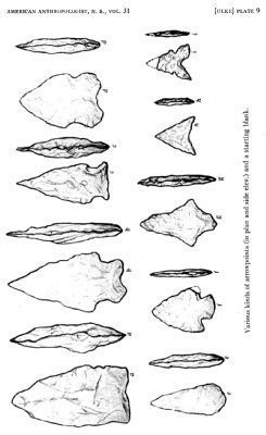
3. The Artifacts of the Potomac Valley Indians (pdf file). by Titus Ulke, American Anthropologist,, Volume 31, Issue 1, January-March 1929, Pages 122-129. (Submitted on April 11, 2013, by Allen C. Browne of Silver Spring, Maryland.)
Photographed by Allen C. Browne, April 10, 2013
3. American Indians of the Potomac River
Photographed by Allen C. Browne, April 10, 2013
4. American Indians of the Potomac River
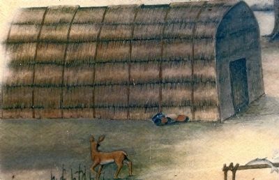
Photographed by Allen C. Browne, April 10, 2013
5. American Indian Lodge
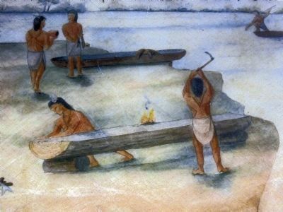
Photographed by Allen C. Browne, April 10, 2013
6. American Indians making Dug-out canoes
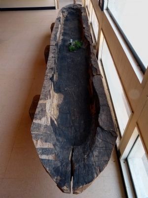
Photographed by Allen C. Browne, April 10, 2013
7. Dug-out Canoe
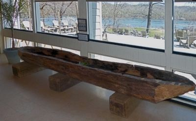
Photographed by Allen C. Browne, April 10, 2013
8. Dug-out Canoe
Photographed by Allen C. Browne, April 10, 2013
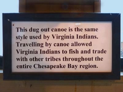
9. Dug-out Canoe sign
in the Vistors Center
in the Vistors Center
This dug out canoe is the same style used by Virginia Indians. Traveling by canoe allowed Virginia Indians to fish and trade with other tribes throughout the Chesapeake Bay region.
Photographed by Allen C. Browne, April 10, 2013
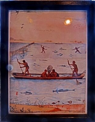
10. Indians Fishing
Water color by John White, painted in 1585-6, illustrating the use of dug-out canoes, in the vistors center.
Photographed by Allen C. Browne, April 10, 2013
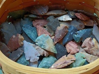
11. Arrow Points
Photographed by Allen C. Browne, April 10, 2013
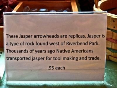
12. Jasper Arrowheads Sign
These Jasper arrowheads are replicas. Jasper is a type of rock found west of Riverbend Park. Thousands of years ago Native Americans transported jasper for tool making and trade.
Photographed by Allen C. Browne
13. Arrow Points
used by Potomac Valley Indians
used by Potomac Valley Indians
Photographed by Allen C. Browne, April 10, 2013
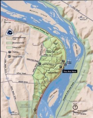
14. Map
Credits. This page was last revised on September 21, 2021. It was originally submitted on April 11, 2013, by Allen C. Browne of Silver Spring, Maryland. This page has been viewed 5,754 times since then and 187 times this year. Photos: 1, 2, 3, 4, 5, 6, 7, 8, 9, 10, 11, 12, 13, 14. submitted on April 11, 2013, by Allen C. Browne of Silver Spring, Maryland. • Bernard Fisher was the editor who published this page.
