
Christina Park in Wilmington in New Castle County, Delaware — The American Northeast (Mid-Atlantic)
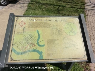
Swedes Landing Trail
Photographed by Don Morfe, April 7, 2013
1. Swedes Landing Trail Marker
The Swedes Landing Trail, which highlights “Wilmington’s Waterfront Heritage” theme reflects the maritime heritage of the first permanent Swedish settlement in the United States. The one mule trail includes land along the northern bank of the Christina River and continues along Church and 7th Streets.
The Swedes Landing Trail:
1. Fort Christina at the Rocks.
2. St. Stanislaus Kostka.
3. Old Swedes Church.
4. Christina Cultural Arts Center.
5. Swedes Tercentenary Monument.
7. Jackson and Sharp.
8. Former Wilson Line Shipyard.
9. Christina Park.
10. Amtrak Rail Viaduct.
11. Kalmar Nyckel Museum.
12. Kalmar Nyckel Shipyard.
City Historic Districts
A. Old Swedes
B. St. Mary’s
C. Eastside
Topics. This historical marker is listed in these topic lists: Colonial Era • Roads & Vehicles • Settlements & Settlers • Waterways & Vessels.
Location. 39° 44.082′ N, 75° 32.616′ W. Marker is in Wilmington, Delaware, in New Castle County. It is in Christina Park. It is on North Church Street. The marker is in Christina Park. Touch for map. Marker is at or near
this page online

Regionally, this marker is in Greater Philadelphia. It is also in the American Mid-Atlantic, on the Delmarva Peninsula, and on the Eastern Seaboard. Globally, it is in the North Atlantic Region, North America, the Western Hemisphere, the Western World, and the Anglosphere. Historically, it finds itself in what was once New Netherland and also one of the original Thirteen Colonies.
Other nearby markers. At least 8 other markers are within walking distance of this marker: Mother Union American Methodist Episcopal Church (approx. ¼ mile away); Old Swedes' Church (approx. ¼ mile away); Major Peter Jaquett (approx. 0.3 miles away); a different marker also named Major Peter Jaquett (approx. 0.3 miles away); Landing of the Swedes (approx. 0.3 miles away); Anthony (approx. 0.3 miles away); Bayard Plot (approx. 0.3 miles away); South Portico (approx. 0.3 miles away). Touch for a list and map of all markers in Wilmington.
Photographed by Don Morfe, April 7, 2013
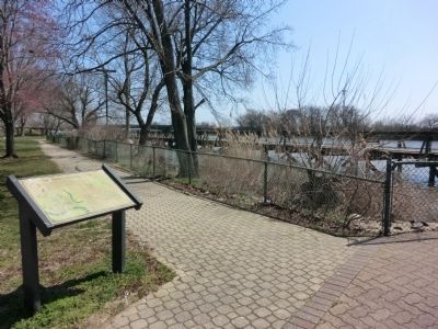
2. Swedes Landing Trail Marker
Photographed by Don Morfe, April 7, 2013
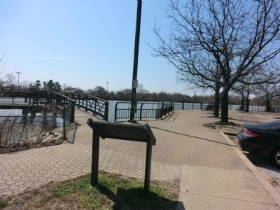
3. Swedes Landing Trail Marker
Credits. This page was last revised on July 11, 2023. It was originally submitted on April 21, 2013, by Don Morfe of Baltimore, Maryland. This page has been viewed 710 times since then and 22 times this year. Photos: 1, 2, 3. submitted on April 21, 2013, by Don Morfe of Baltimore, Maryland. • Bill Pfingsten was the editor who published this page.
