Near Winnabow in Brunswick County, North Carolina — The American South (South Atlantic)
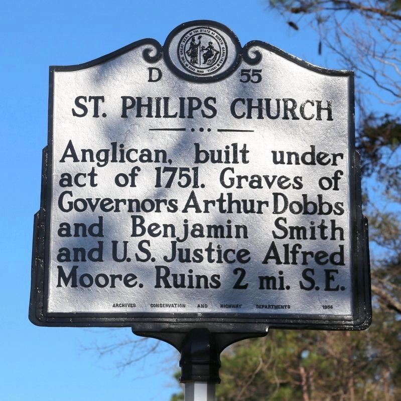
St. Philips Church
Anglican, built under act of 1751. Graves of Governors Arthur Dobbs and Benjamin Smith and U.S. Justice Alfred Moore. Ruins 2 mi. S.E.
Erected 1954 by the Archives Conservation and Highway Departments. (Marker Number D-55.)
Topics and series. This historical marker is listed in these topic lists: Cemeteries & Burial Sites • Churches & Religion • Colonial Era. In addition, it is included in the North Carolina Division of Archives and History series list. A significant historical year for this entry is 1751.
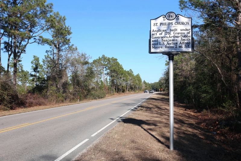
Location. 34° 3.773′ N, 77° 57.935′ W. Marker is near Winnabow, North Carolina, in Brunswick County. Marker is at the intersection of River Road (State Highway 133) and Plantation Road, on the left when traveling south on River Road. Touch for map. Marker is in this post office area: Winnabow NC 28479, United States of America. Touch for directions.
Other nearby markers. At least 8 other markers are within 2 miles of this marker, measured as the crow flies. Orton Plantation (approx. 0.4 miles away); Spanish Attack (approx. 0.7 miles away); Arthur Dobbs (approx. 0.7 miles away); Brunswick (approx. 0.7 miles away); Fort Anderson (approx. 0.8 miles away); Russellborough (approx. 1.6 miles away); Russelborough (approx. 1.6 miles away); John LaPierre (approx. 1.9 miles away). Touch for a list and map of all markers in Winnabow.
More about this marker. This marker was originally erected at 34° 3.8′ N, 77° 57.491′ W, at the entrance to the Orton Plantation Gardens, now permanently closed.
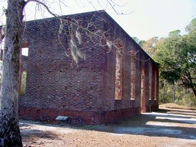
Regarding St. Philips Church. “St. Philips Church was begun in 1754. It was completed in 1768. It was seventy-six feet long by fifty-three feet wide. At the time of its completion, it was the finest Anglican church in the colonies.”
The ruins of the church and the cemetery is all that remains of Brunswick Town. It is a state park. There is no admission fee.
Also see . . . St. Philip's Church, Brunswick Town. Wikipedia entry (Submitted on February 28, 2021, by Larry Gertner of New York, New York.)

Photographed By J. J. Prats, January 15, 2008
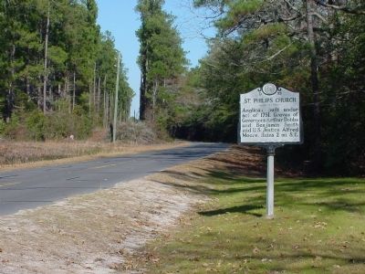
3. St. Philips Church Marker at its original location
This is a photograph shows the marker at the entrance to Orton Plantation Gardens, now no longer open to the public. The roadway shown on this photograph, formerly a section of Plantation Road, has been closed and taken up.
Credits. This page was last revised on February 28, 2021. It was originally submitted on March 22, 2008, by J. J. Prats of Powell, Ohio. This page has been viewed 2,361 times since then and 39 times this year. Photos: 1, 2. submitted on February 25, 2017, by J. J. Prats of Powell, Ohio. 3, 4. submitted on March 22, 2008, by J. J. Prats of Powell, Ohio.


