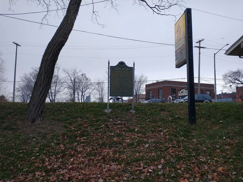
Three Rivers in St. Joseph County, Michigan — The American Midwest (Great Lakes)
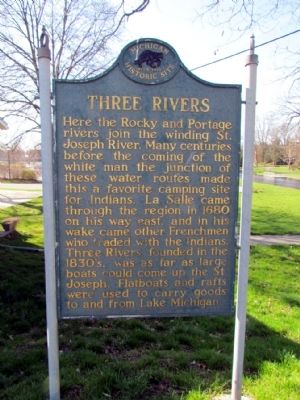
Three Rivers
Erected 1957 by Michigan Historical Commission. (Marker Number S150.)
Topics and series. This historical marker is listed in these topic lists: Exploration • Native Americans • Settlements & Settlers • Waterways & Vessels. In addition, it is included in the Michigan Historical Commission series list. A significant historical year for this entry is 1680.
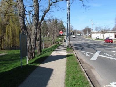
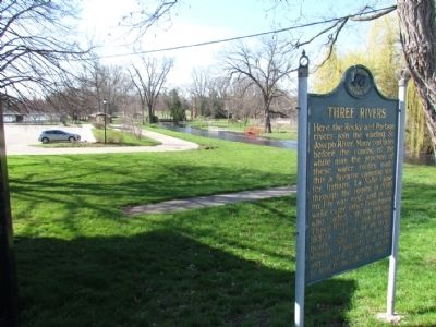
Location. 41° 56.584′ N, 85° 38.064′ W. Marker is in Three Rivers, Michigan, in St. Joseph County. Marker is on West Michigan Avenue (U.S. 131) 0.1 miles east of Spring Street, on the right when traveling east. Parking is available in Scidmore Park behind the marker; driveway to parking is next to the building near the marker. Touch for map. Marker is in this post office area: Three Rivers MI 49093, United States of America. Touch for directions.
Other nearby markers. At least 8 other markers are within walking distance of this marker. Site of Legendary Battle (about 300 feet away, measured in a direct line); Three Rivers Town Cannon (about 300 feet away); The First Grist Mill in Three Rivers (about 400 feet away); The Meneely Bell (about 500 feet away); Traditional Site Of Seventeenth Century Jesuit Mission (about 600 feet away); Sue Silliman House (about 600 feet away); Historic District (approx. 0.2 miles away); Motor Car (approx. 0.2 miles away). Touch for a list and map of all markers in Three Rivers.
Credits. This page was last revised on December 22, 2022. It was originally submitted on April 23, 2013, by Duane Hall of Abilene, Texas. This page has been viewed 779 times since then and 98 times this year. Photos: 1, 2, 3, 4. submitted on April 23, 2013, by Duane Hall of Abilene, Texas. 5. submitted on December 16, 2022, by Craig Doda of Napoleon, Ohio. • Bernard Fisher was the editor who published this page.
