East Irondequoit in Monroe County, New York — The American Northeast (Mid-Atlantic)
An Early Doctor
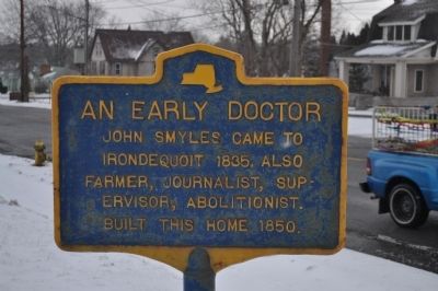
Photographed by Yugoboy, February 21, 2013
1. An Early Doctor Marker
Topics. This historical marker is listed in these topic lists: Abolition & Underground RR • Science & Medicine • Settlements & Settlers. A significant historical year for this entry is 1805.
Location. 43° 10.602′ N, 77° 33.087′ W. Marker is in Irondequoit, New York, in Monroe County. It is in East Irondequoit. It is at the intersection of Empire Boulevard and LaFayette Road, on the right when traveling west on Empire Boulevard. Touch for map. Marker is in this post office area: Rochester NY 14609, United States of America. Touch for directions.

Regionally, this marker is in Upstate New York, specifically in Western New York, in the Finger Lakes, and in the Rochester Metropolitan Area. It is also in the American Northeast and in the Mid-Atlantic. Globally, it is in North America, on the Great Lakes, in the Western Hemisphere, in the Western World, and in the Anglosphere. Historically, it finds itself in what was once the Haudenosaunee (Iroquois) Confederacy, New Netherland, and one
this page online
Other nearby markers. At least 8 other markers are within 2 miles of this marker, measured as the crow flies: Asa Dunbar (approx. ¾ mile away); Irondequoit Bay (approx. 1.3 miles away); a different marker also named Irondequoit Bay (approx. 1½ miles away); Harper Method (approx. 1.7 miles away); Swayne's Corners (approx. 1.9 miles away); Merchants Road (approx. 1.9 miles away); Pioneer Hooker Cemetery (approx. 2 miles away); The City of Rochester Public Market Fountain (approx. 2.1 miles away). Touch for a list and map of all markers in Irondequoit.
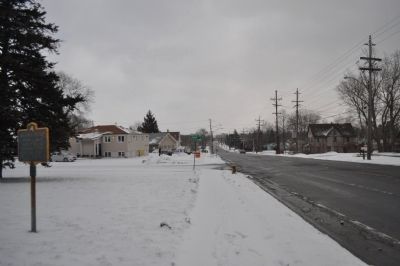
Photographed by Yugoboy, February 21, 2013
2. An Early Doctor Marker as seen facing East
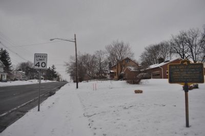
Photographed by Yugoboy, February 19, 2013
3. An Early Doctor Marker as seen facing West
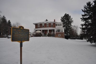
Photographed by Yugoboy, February 21, 2013
4. An Early Doctor Marker and Home
Credits. This page was last revised on February 16, 2023. It was originally submitted on May 10, 2013, by Yugoboy of Rochester, New York. This page has been viewed 820 times since then and 44 times this year. Photos: 1, 2, 3, 4. submitted on May 10, 2013, by Yugoboy of Rochester, New York. • Bill Pfingsten was the editor who published this page.
