Marker Logo HMdb.org THE HISTORICAL
MARKER DATABASE
“Bite-Size Bits of Local, National, and Global History”
Webster in Monroe County, New York — The American Northeast (Mid-Atlantic)
 

Fort Site


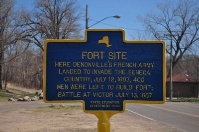
Fort Site Marker image. Click for full size.
Photographed By Yugoboy, April 21, 2013
1. Fort Site Marker
Inscription. Here Denonville's French Army landed to invade the Seneca Country; July 12, 1687, 400 men were left to build fort; Battle at Victor July 13, 1687
 
Erected 1936 by State Education Department.
 
Topics. This historical marker is listed in these topic lists: Colonial EraNative Americans. A significant historical date for this entry is July 12, 1687.
 
Location. 43° 14.254′ N, 77° 31.318′ W. Marker is in Webster, New York, in Monroe County. Marker is on Lake Road, ¼ mile west of Bay Road, on the right. Touch for map. Marker is in this post office area: Webster NY 14580, United States of America. Touch for directions.
 
Other nearby markers. At least 8 other markers are within one mile of this marker, measured as the crow flies. British Army Encampment (approx. 0.7 miles away); Seneca People (approx. 0.7 miles away); Bay Road Elementary School (approx. one mile away); Fort Des Sables (approx. one mile away); On This Site - Over the Years (approx. 1.1 miles away); a different marker also named On This Site - Over the Years (approx. 1.1 miles away); a different marker also named On This Site - Over the Years (approx. 1.1 miles away); a different marker also named On This Site - Over the Years (approx. 1.1 miles away).
 
Also see . . .  2012 Webster, New York Shooting - Wikipedia.
Paid Advertisement
Click on the ad for more information.
Please report objectionable advertising to the Editor.
Click or scan to see
this page online
(Submitted on May 15, 2013, by Yugoboy of Rochester, New York.)
 
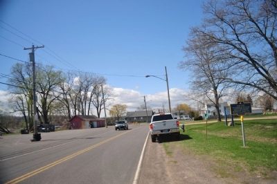
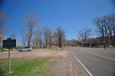
Fort Site Marker as seen facing east image. Click for full size.
Photographed By Yugoboy, April 21, 2013
2. Fort Site Marker as seen facing east
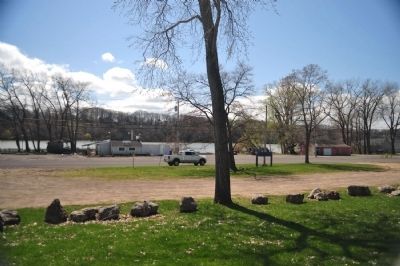
Fort Site Marker as seen facing west image. Click for full size.
Photographed By Yugoboy, April 21, 2013
3. Fort Site Marker as seen facing west
Fort Site Marker as seen from atop sandbar image. Click for full size.
Photographed By Yugoboy, April 21, 2013
4. Fort Site Marker as seen from atop sandbar
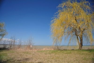
Lake Ontario image. Click for full size.
Photographed By Yugoboy, April 21, 2013
5. Lake Ontario
Marker is in Sandbar Park. Photo is taken from atop the sandbar located between marker and the lake.
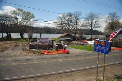
Scene as seen from atop sandbar image. Click for full size.
Photographed By Yugoboy, April 21, 2013
6. Scene as seen from atop sandbar
The destroyed structure behind the anti-gun sign was the site of the 2012 Christmas Eve ambush shootings of several first responders. See attached link.
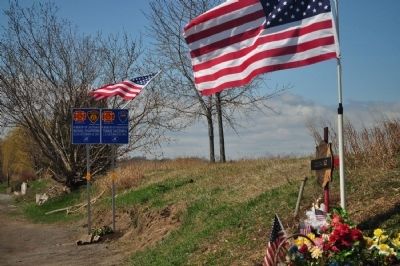
Fallen Heroes Memorial image. Click for full size.
Photographed By Yugoboy, April 21, 2013
7. Fallen Heroes Memorial
These signs honoring the Webster Firefighters who were killed in the 2012 Christmas Eve ambush were erected 2 or 3 days prior to this photo. See attached link.
 
 
Credits. This page was last revised on June 16, 2016. It was originally submitted on May 15, 2013, by Yugoboy of Rochester, New York. This page has been viewed 724 times since then and 32 times this year. Photos:   1, 2, 3, 4, 5, 6, 7. submitted on May 15, 2013, by Yugoboy of Rochester, New York. • Bill Pfingsten was the editor who published this page.
Share this page.  
Share on Tumblr
m=65349

CeraNet Cloud Computing sponsors the Historical Marker Database.
This website earns income from purchases you make after using our links to Amazon.com. We appreciate your support.
Paid Advertisement
Apr. 23, 2024