Lewisville in Forsyth County, North Carolina — The American South (South Atlantic)
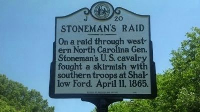
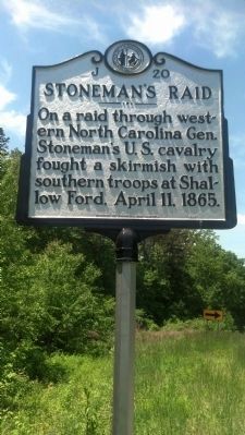
Stoneman's Raid
Erected 1983 by NC Division of Archives and History. (Marker Number J-20.)
Topics and series. This historical marker is listed in these topic lists: War, US Civil • Waterways & Vessels. In addition, it is included in the North Carolina Division of Archives and History series list. A significant historical month for this entry is April 1795.
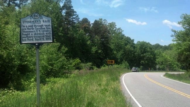
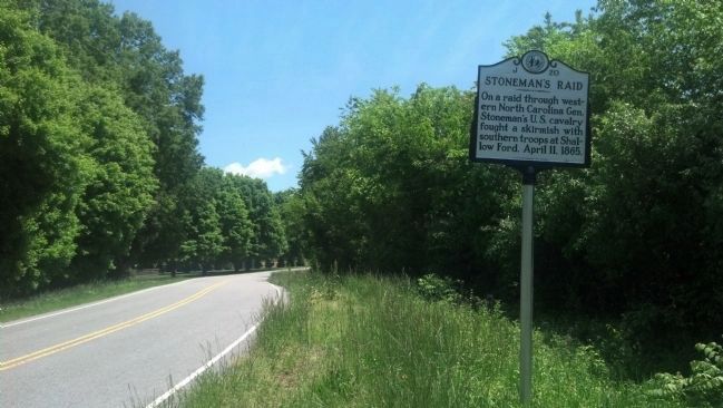
Location. 36° 5.57′ N, 80° 30.751′ W. Marker is in Lewisville, North Carolina, in Forsyth County. Marker is on Shallowford Road, on the left when traveling east. Touch for map. Marker is in this post office area: Lewisville NC 27023, United States of America. Touch for directions.
Other nearby markers. At least 8 other markers are within 5 miles of this marker, measured as the crow flies. Shallow Ford (about 300 feet away, measured in a direct line); Raiding Huntsville (approx. 1.2 miles away); Historic Huntsville Methodist Church (approx. 1.2 miles away); Jones Grocery Store (approx. 1.3 miles away); Concord United Methodist Church (approx. 4.3 miles away); New Hope AME Zion Church (approx. 4˝ miles away); Site of Sunny Acres (approx. 4.7 miles away); Charles L. Spaugh House (approx. 4.8 miles away). Touch for a list and map of all markers in Lewisville.
Related marker. Click here for another marker that is related to this marker. - Shallow Ford
Credits. This page was last revised on March 23, 2021. It was originally submitted on January 22, 2012, by Michael C. Wilcox of Winston-Salem, North Carolina. This page has been viewed 1,003 times since then and 57 times this year. Last updated on May 19, 2013, by Michael C. Wilcox of Winston-Salem, North Carolina. Photos: 1, 2, 3, 4. submitted on May 19, 2013, by Michael C. Wilcox of Winston-Salem, North Carolina. • Bill Pfingsten was the editor who published this page.


