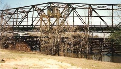
Near Sylvania in Screven County, Georgia — The American South (South Atlantic)
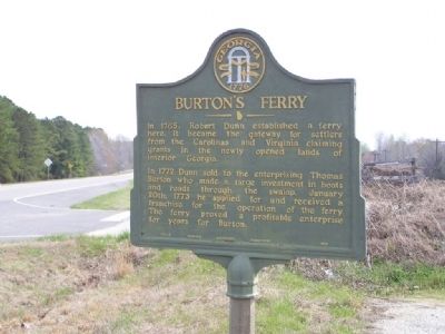
Burton's Ferry
In 1772 Dunn sold to the enterprising Thomas Burton who made a large investment in boats and roads through the swamp. January 20th, 1773 he applied for and received a franchise for the operation of the ferry. The ferry proved a profitable enterprise for years for Burton.
Erected 1953 by Georgia Historical Commission. (Marker Number 124-9.)
Topics and series. This historical marker is listed in these topic lists: Colonial Era • Roads & Vehicles • Settlements & Settlers • Waterways & Vessels. In addition, it is included in the Georgia Historical Society series list. A significant historical date for this entry is January 20, 1734.
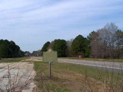
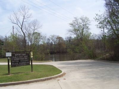
Location. 32° 56.239′ N, 81° 30.698′ W. Marker is near Sylvania, Georgia, in Screven County. Marker is on Burtons Ferry Road (U.S. 301), on the left when traveling south. Marker Located approx. 200 yards on Georgia side of Savannah River. Touch for map. Marker is in this post office area: Sylvania GA 30467, United States of America. Touch for directions.
Other nearby markers. At least 8 other markers are within 10 miles of this marker, measured as the crow flies. Brick (Bethel) Church (approx. 2.6 miles away); Bethel United Methodist Church (approx. 2.6 miles away); Antioch Christian Church (approx. 5.6 miles away in South Carolina); Concord Baptist Church (approx. 6.4 miles away in South Carolina); Paris' Mill (approx. 8 miles away); British Army Crossing (approx. 8 miles away); Smyrna Baptist Church (approx. 9.2 miles away in South Carolina); General Samuel Elbert (approx. 9.4 miles away).
Credits. This page was last revised on October 21, 2020. It was originally submitted on March 24, 2008, by Mike Stroud of Bluffton, South Carolina. This page has been viewed 2,445 times since then and 73 times this year. Photos: 1, 2, 3, 4. submitted on March 24, 2008, by Mike Stroud of Bluffton, South Carolina. 5. submitted on March 24, 2008, by Craig Swain of Leesburg, Virginia. • Craig Swain was the editor who published this page.
