Bedford in Trimble County, Kentucky — The American South (East South Central)
Trimble County Jail
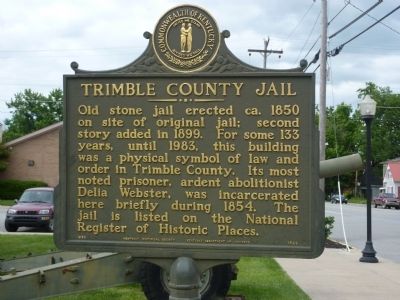
Photographed by Cynthia M LeBre, June 3, 2013
1. Delia Webster Marker
Erected 1988 by Kentucky Historical Society, Kentucky Department of Highways. (Marker Number 1822.)
Topics and series. This historical marker is listed in these topic lists: Abolition & Underground RR • Civil Rights. In addition, it is included in the Kentucky Historical Society series list. A significant historical year for this entry is 1850.
Location. 38° 35.603′ N, 85° 19.052′ W. Marker is in Bedford, Kentucky, in Trimble County. It is on Main Street (U.S. 421) south of Church Street, on the right when traveling south. Touch for map. Marker is in this post office area: Bedford KY 40006, United States of America. Touch for directions.

Regionally, this marker is in the Outer Bluegrass. It is also in the American South, specifically in the Upper South, and in
this page online
Other nearby markers. At least 8 other markers are within 10 miles of this marker, measured as the crow flies: County Named, 1836 (within shouting distance of this marker); Hancock House (about 300 feet away, measured in a direct line); Bedford Springs and Hotel (approx. ¾ mile away); The Rowlett House (approx. 5.1 miles away); Petticoat Abolitionist (approx. 8.8 miles away); Scott's Blockhouse (approx. 9.3 miles away); Old Ky. River Toll Bridge (approx. 9.4 miles away); First Explored (approx. 9.4 miles away). Touch for a list and map of all markers in Bedford.
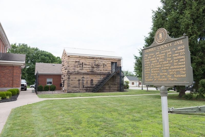
Photographed by J. J. Prats, June 12, 2019
2. Trimble County Jail and Marker
Credits. This page was last revised on July 3, 2019. It was originally submitted on June 3, 2013, by Cynthia M LeBre. This page has been viewed 1,437 times since then and 55 times this year. Photos: 1. submitted on June 3, 2013, by Cynthia M LeBre. 2. submitted on July 3, 2019, by J. J. Prats of Powell, Ohio. • Al Wolf was the editor who published this page.
